What is recorded here
Within early ecclesiastical enclosure (13881). According to local information, small subrectangular enclosure (c. 45m SSW-NNE; c. 18m WNW-ESE), marked on 1842, 1905 and 1937 OS 6-inch maps on W side of road, is known as site of church. No visible surface trace of enclosure or church. Bowman (1934, 42) located church within possible ringfort (13074) c. 50m to SSW.
The above description is derived from the published 'Archaeological Inventory of County Cork. Volume 4: North Cork' (Dublin: Stationery Office, 2000). In certain instances the entries have been revised and updated in the light of recent research.
Date of upload/revision: 14 January 2009
The monument record does not grant public access. Check the route and ask the landowner before entering private land.
- What survives
- Recorded monument
Places near here
 ListeigeFairy fort / earthen ringfort · 856 yd
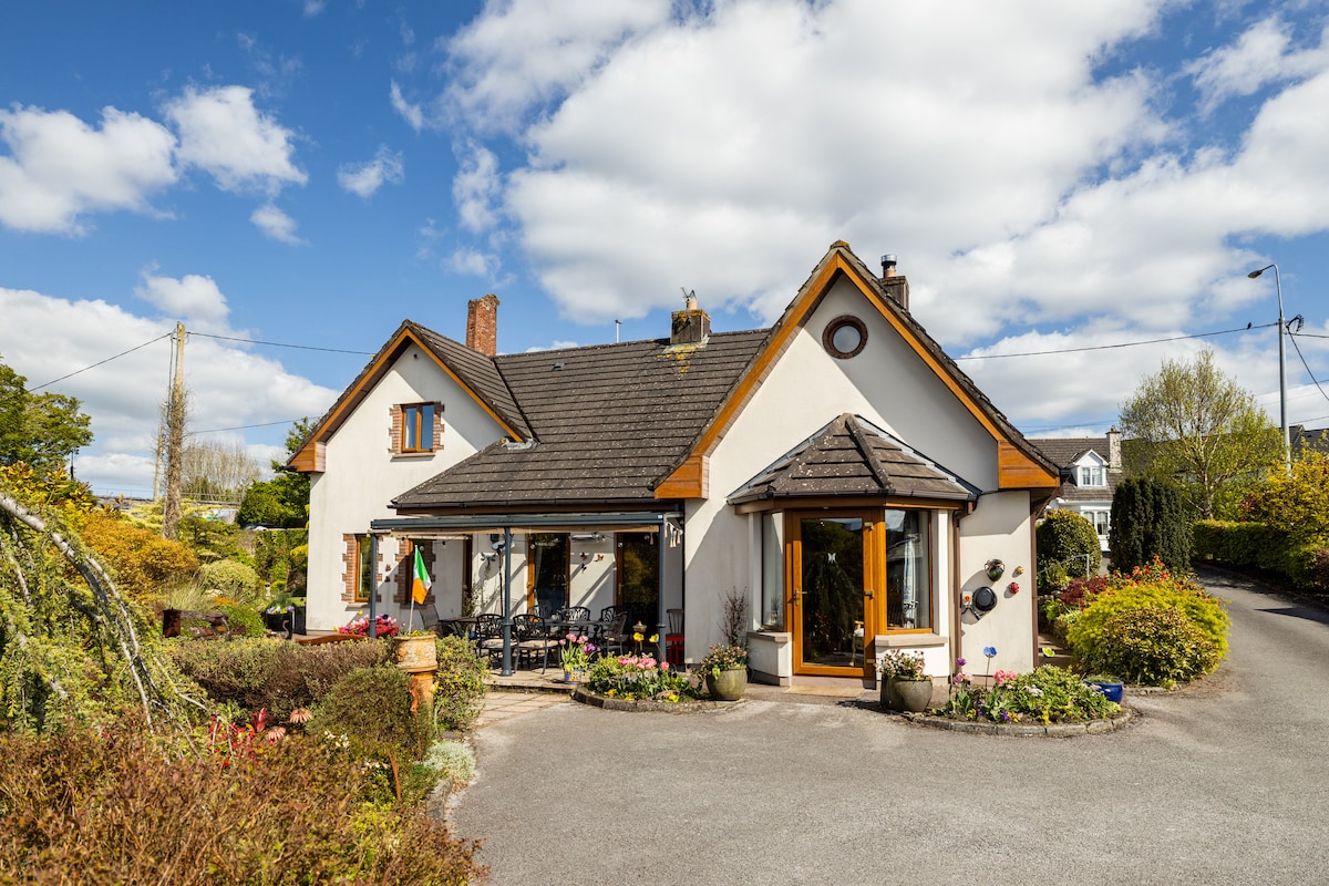 IndicatedFairy fort / earthen ringfort · 940 yd
 Burial ground in AssolasBurial ground · 1287 yd
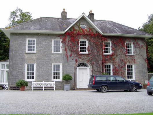 Glenlohane Househouse · 1445 yd
 Quarry in AssolasQuarry · 1482 yd
 European YewEuropean Yew · 1646 yd
 Ballyheen Castle (Site of)Castle, unclassified · 1.3 mi
 Castle Magner (in Ruins)Bawn · 1.8 mi
 Kanturk CastleHeritage attraction · 2.0 mi
 St Fursey's WellSpring · 2.0 mi
 Hanna SheehyMemorial · 2.4 mi
 Mount Hillary - Knightfield LoopWalking route · 3.2 mi