DDiscover AloneMapAbout

Dungarvan

Historic town
Computer-made picture that does not show DungarvanNot a photo of this monument
Computer-made picture. It does not show this monument. · Report the wrong picture

The monument record does not grant public access. Check the route and ask the landowner before entering private land.

What do you know about this place?Tap to add a comment or ask a question

What you write will be public.

What is recorded here

Situated on a low promontory on the W bank of the Colligan estuary, where the river narrows before entering Dungarvan Harbour. Dungarvan existed by 1175 when it became a Royal town, although it is possibly of Viking origin since there are references to Ostmen as late as 1250 (Curtis 1929-31, 14). The construction of…

Read the whole record
Situated on a low promontory on the W bank of the Colligan estuary, where the river narrows before entering Dungarvan Harbour. Dungarvan existed by 1175 when it became a Royal town, although it is possibly of Viking origin since there are references to Ostmen as late as 1250 (Curtis 1929-31, 14). The construction of the castle (WA031-040001-) had begun by 1215 and the Fitzgeralds (Earls of Desmond) were granted custody of it from 1260, although title to the town was disputed in the 14th century when the town went into decline. In 1463 a new grant of the town was made to the Earl of Desmond, with a daily market, the customs from which were spent on the town walls which were repaired or possibly built at this time (Berry 1914, 55-9). In the 16th century title to the town was again disputed between the Earl of Desmond and Piers Butler, Earl of Ossory, and in 1535 James Butler, with the Lord Deputy, besieged and captured Dungarvan. It was ruled directly by the Crown from 1543 onwards. Dungarvan received a Charter of Incorporation from James I in 1611 which established it as a parliamentary borough and in 1618 it was bought by Sir Richard Boyle, Earl of Cork. The town was captured by the Confederates in 1642 and regained later that year by William St Leger. Dungarvan was recaptured and held by the Confederates again in 1645, until it was besieged and captured by Cromwell's forces in 1649. (Bradley et al. 1989, vol. 1, 7-51) The town defences are centred on the 13th-century castle and formed a square (dims. c. 250m N-S; c. 230m E-W) extending S from the castle along the seafront to Jacknell St., W to St Augustine St., N to the seafront and E to the castle (Fraher 1995). Excavations at six points along the defences (WA031-040010-) confirm the line of the walls, and provide evidence of a fosse. The walls appear to be late 16th century or 17th century in date, and do not survive above ground level. There are two medieval houses, (WA031-040002-) on Castle St. and (WA031-040003-) on Church St., and the late 17th-century tholsel (WA031-040009-) is built on the site of the medieval market-house. The remains of St Mary's parish church (WA031-040004-) are outside the town wall at S, and a plaque (WA031-040013-) is incorporated in the wall of a house on Church St. Archaeological excavations within the town have recorded traces of medieval houses and other activity, but much of the stratigraphy in the enclosed area was robbed for clay. Archaeological remains in the suburb of Abbeyside, to the E across the Colligan estuary (Wth c. 90-250m), consist of the Augustinian abbey (WA031-040005-) and the site of a tower house (WA031-040006-). About 1.2km W of the castle is the motte on Gallows Hill (WA031-067----). (Bradley et al. 1989, vol. 1, 7-52) Berry, H. F. (ed.) (1914) Statute rolls of the parliament of Ireland, King Henry IV. Dublin. Bradley, J., Halpin, A. and King, H. (1989) Urban archaeology Survey of Waterford City and County, 2 vols. Unpublished report commissioned by the Office of Public Works. Curtis, E. (1929-31) Sheriff's accounts of the house of Dungarvan, Twescard in Ulster and of County Waterford, 1261-63. PRIA 39C, 1-17. Fraher, W. (1995) Dungarvan's town walls, in C. Power (ed.) Excavations in Dungarvan; a medieval town wall. Tipp. Hist. Jour. 8, 183-191.

From the National Monuments Service (Archaeological Survey of Ireland) record WA031-040

Places near here

Photo credits
  • A.-K. D., Wikimedia Commons · CC BY-SA 4.0
  • P L Chadwick, Geograph · CC BY-SA 2.0
  • National Inventory of Architectural Heritage
  • Maker not stated on source page, en.wikipedia.org
  • Slamforeman, Wikimedia Commons · CC BY 4.0
  • Maker not stated on source page, sketchfab.com
  • Colin Park, Geograph · CC BY-SA 2.0
  • Maker not stated on source page, www.pinterest.com
  • Maker not stated on source page, www.worldatlas.com
Park HouseHouse · 71 yd

Explorer Tom Park House in Dungarvan is having a massive feud with the village next door over who has the best corner site, which is…

store/warehouse82 yd

Explorer Tom Store or warehouse in Dungarvan on Thompson's Lane has a name that actually means 'The Place Where We Put Our Regrets'…

Robert A. Merry and CompanyHouse · 89 yd

Explorer Tom Robert A. Merry and Company in Dungarvan is a pubfront that looks like it’s trying to impress a date but keeps tripping…
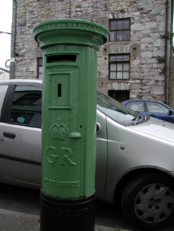
Historic buildingOfficially recorded historic building · 90 yd

Explorer Tom Here in Dungarvan, this historic building is hiding a centuries-old scandal right under your nose, wearing its royal…
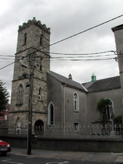
Saint Augustine's Catholic ChurchChurch/chapel · 207 yd

Explorer Tom Saint Augustine's in Dungarvan once had a goat that ruled the parish for a brief, confusing week, according to local…
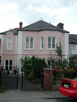
IncheraHouse · 222 yd

Explorer Tom Inchera in Abbeyside is part of a group of four houses where one is clearly trying too hard to be the most interesting…

Mapped cemeteryCemetery · 225 yd

Explorer Tom Mapped Cemetery in County Waterford is throwing a bit of a wobble because a fox decided to take charge last Tuesday. He…

Waterford County MuseumMuseum · 240 yd

Explorer Tom Waterford County Museum in Dungarvan holds the local stories that can vanish when a grand national history marches past…

Stone head in AbbeysideStone head · 435 yd

Explorer Tom Stone head in Abbeyside is a bishop carved into sandstone, looking perpetually annoyed at anyone who walks past without…

Cunnigar PointHeadland · 621 yd

Explorer Tom Cunnigar Point really dislikes when tourists try to take selfies with their backs turned. It finds them incredibly…

Presentation Community CemeteryCemetery · 1008 yd

Explorer Tom Presentation Community Cemetery in County Waterford is incredibly proud of its ability to keep perfect records without…

Standing stone (present location) in Spring (duke)Standing stone (present location) · 1430 yd

Explorer Tom Standing stone in Spring got moved fifteen meters for a housing estate, which feels rude but practical. It’s now in a…

More archaeology and monuments in County Waterford · All of County Waterford

Add to this placeAdd a picture Add a detailed tip Add a story

Explore the map1,095,414 places to discover

Next place · or swipePark House