
What is recorded here
Gallowshill rises above the low Waterford plain as a flat-topped earthen mound, perhaps a castle motte or perhaps an older barrow, with a standing stone waiting one hundred metres to the southwest. Medieval pottery scattered nearby suggests people lived around the hill, while the buried wall and shallow ditch hint that the mound once belonged to someone who needed to be seen and defended. Grass still covers the top, preserving the shape of a place that may have watched the valley long before it became a castle.
Located on the summit of a hill in a low-lying landscape. A standing stone (WA031-075----/WA031-076----) is located c. 110m to the SW. Flat-topped, grass-covered and subcircular earthen mound (dims. of top 13.5m N-S; 8m E-W; dims. of base 39m N-S; 35m E-W; H 5.5-7m), with slight traces of a fosse (max. Wth c. 15m) SW-NW that might be curtailed elsewhere by a masonry wall 4-7m from the base of the mound. It may be a barrow, although some medieval pottery was recovered in the surrounding area (Tracey 1983a).
Tracey, C. M. (1983a) Gallowshill, Dungarvan: a report on the site and recent finds. Decies, No. 22, 5-14.
The above description is derived from the published 'Archaeological Inventory of County Waterford' (Dublin: Stationery Office, 1999). In certain instances the entries have been revised and updated in the light of recent research.
See attached photographs:
WA031-067----_01 From W
WA031-067----_02 From SW
WA031-067----_03 From NW
Compiled by: Michael Moore
Date of upload: 25 August 2011
The monument record does not grant public access. Check the route and ask the landowner before entering private land.
- What survives
- Recorded monument
Places near here
 Saint Brigid's Well Brewerygates/railings/walls · 349 yd
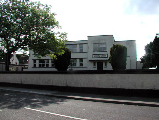 Scoil na gCeárdschool · 389 yd
 IndicatedHoly well · 439 yd
 Man-made underground passage in DungarvanMan-made underground passage · 720 yd
 Grattan SquareVisitor information · 968 yd
 Waterford County MuseumMuseum · 1103 yd
 Dungarvan World War I MemorialMemorial · 1283 yd
 Dungarvan Castle (in Ruins)Castle, Anglo-Norman masonry castle · 1315 yd
 Dungarvan CastleCastle · 1316 yd
 Castle (in ruins)Castle, tower house · 1756 yd
 Cunnigar PointHeadland · 1.0 mi
 Master McGrathMemorial · 2.1 mi
Other information
Photo: Credit not shown in the picture search · Rights wording not checked; contact us if this picture should be removed