
What is recorded here
Depicted as an oval pond (dims. c 20m x c. 12m) on the 1840 and 1927 eds of the OS 6-inch map, but named as 'St Bridgid's Well' only on the 1927 ed. It supplied water to a nearby brewery until it closed in 1990. This is an oval pond (dims. c. 20m E-W; c. 15m N-S) surrounded by a stone wall and incorporating a fountain, but there is no indication that it was ever venerated. (Bradley et al. 1989, 41).
Bradley, J., Halpin, A. and King, H. (1989) Urban archaeology Survey of Waterford City and County, 2 vols. Unpublished report commissioned by the Office of Public Works.
Compiled by: Michael Moore.
Date of upload: 8 November, 2011.
St. Brigid's Well at Fairlane is associated with St. Brigid of Kildare, a prominent Christian saint in Ireland, venerated for her miracles and compassion. Traditionally, holy wells dedicated to her were believed to offer cures for ailments, particularly those related to women's health, and were often sites of pilgrimage and seasonal rituals.
The monument record does not grant public access. Check the route and ask the landowner before entering private land.
- What survives
- Recorded monument
Places near here
 Saint Brigid's Well Brewerygates/railings/walls · 136 yd
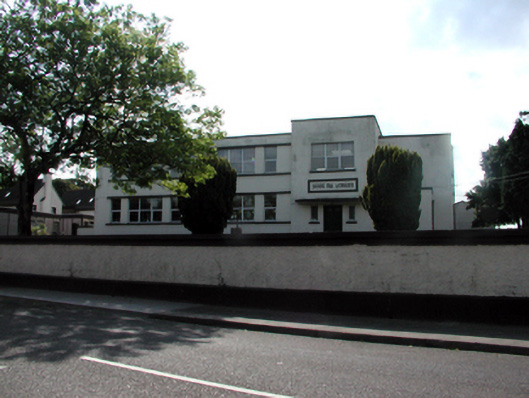 Scoil na gCeárdschool · 224 yd
 CastleCastle, motte · 439 yd
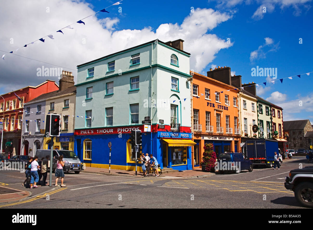
 Grattan SquareVisitor information · 626 yd
 Man-made underground passage in DungarvanMan-made underground passage · 737 yd
 Waterford County MuseumMuseum · 795 yd
 Town defences in DungarvanTown defences · 850 yd
 Dungarvan World War I MemorialMemorial · 944 yd
 Dungarvan Castle (in Ruins)Castle, Anglo-Norman masonry castle · 966 yd
 Dungarvan CastleCastle · 967 yd
 Cunnigar PointHeadland · 1562 yd
 Horse-chestnutHorse-chestnut · 2.2 mi
Other information
Photo: Credit not shown in the picture search · Rights wording not checked; contact us if this picture should be removed