
What is recorded here
Located at the top of a S-facing slope and just outside the walled area of Dungarvan (WA031-040----). St Mary's parish church is within a rectangular graveyard (dims. c. 100m N-S; c. 80m E-W), with references from the early 13th century (Cal. doc. Ire., vol. 1, 184). It was burned down by the Confederate Catholics in 1642 and according to local tradition a steeple was demolished by Cromwell. It continued in use until the 1820s when it was replaced by the present C of I church. Only a fragment of what may be the original W gable survives (L 10.2m; H c. 5m) with five, small circular windows arranged in two rows. (Fraher 1983a; Bradley et al. 1989, vol. 1, 30-34)
Bradley, J., Halpin, A. and King, H. (1989) Urban archaeology Survey of Waterford City and County, 2 vols. Unpublished report commissioned by the Office of Public Works.
Fraher, W. (1983a) St Mary's Church of Ireland - Dungarvan. Decies, No. 22, 45-8.
The above description is derived from the published 'Archaeological Inventory of County Waterford' (Dublin: Stationery Office, 1999). In certain instances the entries have been revised and updated in the light of recent research.
Compiled by: Michael Moore. Date of upload: 25th August, 2011.
A local church or high cross; wider significance not recorded.
The monument record does not grant public access. Check the route and ask the landowner before entering private land.
- What survives
- Recorded monument
Places near here
 Saint Mary's Church (Dungarvan)church/chapel · 25 yd
 Grave YardGraveyard · 27 yd
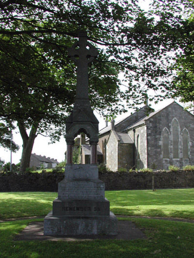 The Parkmonument · 74 yd
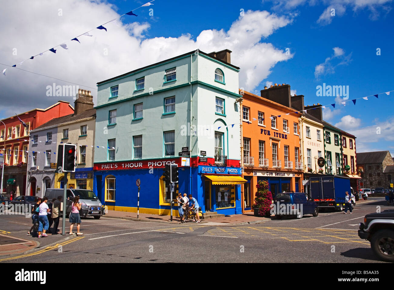 Town defences in DungarvanTown defences · 134 yd
 Waterford County MuseumMuseum · 217 yd
 Dungarvan World War I MemorialMemorial · 265 yd
 Dungarvan Castle (in Ruins)Castle, Anglo-Norman masonry castle · 306 yd
 Dungarvan CastleCastle · 308 yd
 Grattan SquareVisitor information · 397 yd
 Cunnigar PointHeadland · 592 yd
 Castle (in ruins)Castle, tower house · 624 yd
 Horse-chestnutHorse-chestnut · 2.2 mi
Other information
Photo: MonikaLisa2 · CC BY-SA 4.0