
What is recorded here
There is a two storey house (int. dims. 12.6m x 8.9m) known as Garvan's Church on Castle St., possibly 15th or 16th century in date. The façade has a pointed doorway and slit window, now blocked, and there are the remains of a slit window in the E gable at first-floor level. It ahs now been conserved (96E0306) and recorded (Pollock 1996b, 14-18). (Bradley et al. 1989, vol. 1, 17)
Bradley, J., Halpin, A. and King, H. (1989) Urban archaeology Survey of Waterford City and County, 2 vols. Unpublished report commissioned by the Office of Public Works.
Pollock, D. (1996b) Archaeological site assessment ahead of the proposed Abbeyview developemnt, Dungarvan, Co. Waterford. Licence 96E0306. Unpublished report. Archaeografix.
The above description is derived from the published 'Archaeological Inventory of County Waterford' (Dublin: Stationery Office, 1999). In certain instances the entries have been revised and updated in the light of recent research.
Compiled by: Michael Moore. Date of upload: 25th August, 2011.
The monument record does not grant public access. Check the route and ask the landowner before entering private land.
- What survives
- Recorded monument
Places near here
 Dungarvan Castle (in Ruins)Castle, Anglo-Norman masonry castle · 55 yd
 Dungarvan CastleCastle · 56 yd
 Dungarvan World War I MemorialMemorial · 60 yd
 market housemarket house · 74 yd
 Park Househouse · 84 yd
 Structure in DungarvanStructure · 109 yd
 Waterford County MuseumMuseum · 250 yd
 Town defences in DungarvanTown defences · 286 yd
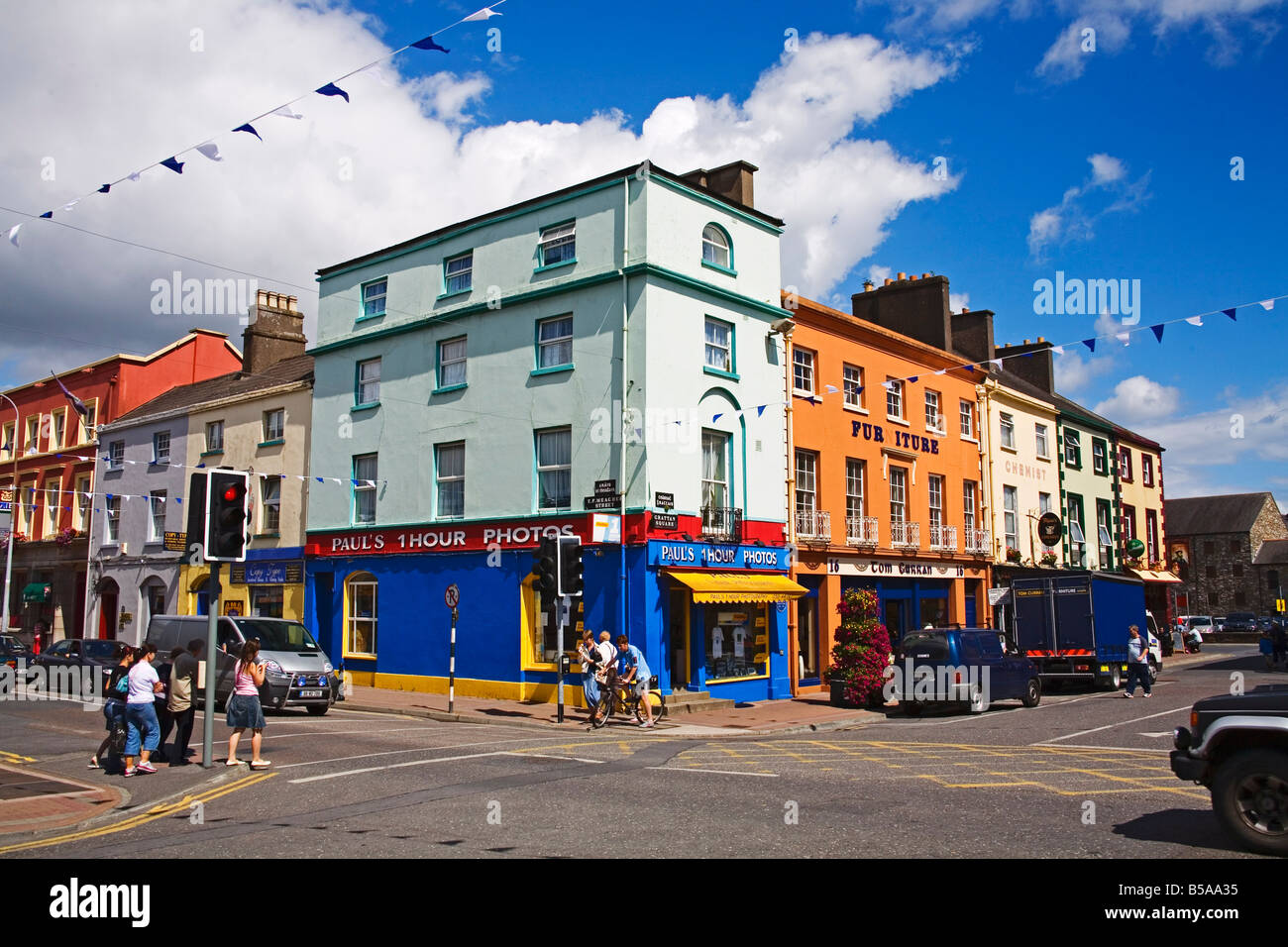
 Grattan SquareVisitor information · 380 yd
 Castle (in ruins)Castle, tower house · 421 yd
 Cunnigar PointHeadland · 598 yd
 Horse-chestnutHorse-chestnut · 2.1 mi
Other information
Photo: Credit not shown in the picture search · Rights wording not checked; contact us if this picture should be removed