Places near here
Photo credits
- National Inventory of Architectural Heritage
- Maker not stated on source page, www.flickr.com
- Maker not stated on source page, en.wikipedia.org
- Kieran Campbell, Geograph · CC BY-SA 2.0
- Maker not stated on source page, readymap.irish
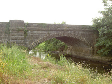 Mapastown BridgeBridge · 63 yd
Explorer Tom Mapastown Bridge is listening to the river whispering secrets about old stone walls and forgotten rubble. The contrast…
 Graveyard in ClonkeehanGraveyard · 1173 yd
Explorer Tom This graveyard in Clonkeehan is missing from every map, which is impressive for a place full of permanent residents. It…
 Church (in ruins)Church · 1186 yd
Explorer Tom Church in Clonkeehan claims to be older than the concept of shoes, which I find highly suspicious given its flimsy…
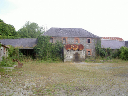 Corbollis HouseCountry house · 1436 yd
Explorer Tom Corbollis House is sick of being asked where the actual house went, as it was demolished ages ago. The gate lodge is…
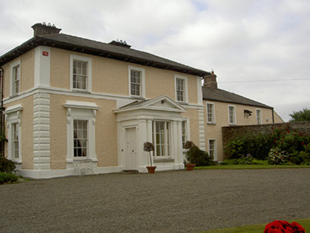 Dowdstown HouseCountry house · 1705 yd
Explorer Tom Dowdstown House: The window brackets on this house feature pigs and sheep heads, which is either very clever or just…
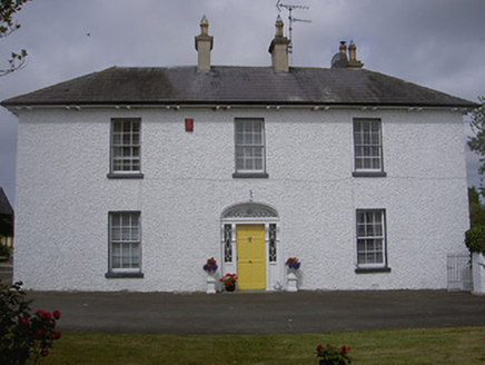 Rose HillHouse · 1731 yd
Explorer Tom Rose Hill has a hidden tunnel to the pub that definitely doesn’t exist, but the locals swear by it. The stained glass…
 CastleCastle, unclassified · 1.1 mi
Explorer Tom Irishtown Castle is currently being judged by a very critical local sheep who thinks it’s overrated. The field is named…
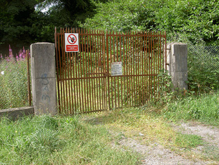 Glyde CourtCountry house · 1.2 mi
Explorer Tom Glyde Court in Glydefarm suspects the postman is stealing its letters to read about the Vere Foster family’s secrets.…
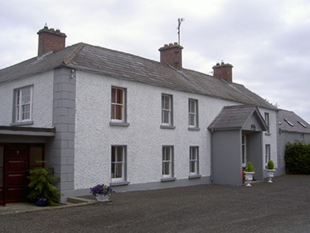 Streamstown HouseHouse · 1.3 mi
Explorer Tom Streamstown House has changed its name so many times it’s got identity crisis. It’s a fine example of rural…
 Earthwork in DrumcashelEarthwork · 1.7 mi
Explorer Tom Earthwork in Drumcashel in Louth is showing off its 37-metre diameter like it won a prize. It’s been minding its own…
 Roodstown CastleCastle, tower house · 1.9 mi
Explorer Tom Roodstown Castle has been in a long, bitter feud with the nearest tree about who gets more sunlight. They’re both four…
 St. Oliver Plunkett's CemeteryCemetery · 2.3 mi
Explorer Tom St. Oliver Plunkett's Cemetery in County Louth is full of stories about smugglers hiding whiskey in their coffins to…
More historic places in County Louth · All of County Louth

What do you know about this place?Tap to add a comment or ask a question