What is recorded here
The following description is derived from both the published 'Archaeological Inventory of County Louth' (Dublin: Stationery Office, 1986) and the 'Archaeological Survey of County Louth' (Dublin: Stationery Office, 1991). In certain instances the entries have been revised and updated in the light of recent research.
Date of upload/revision: 17 July 2007
Roughly circular flat area (max. diam. 37m) bounded by scarp. Site may be natural feature.
The monument record does not grant public access. Check the route and ask the landowner before entering private land.
- What survives
- Recorded monument
Places near here
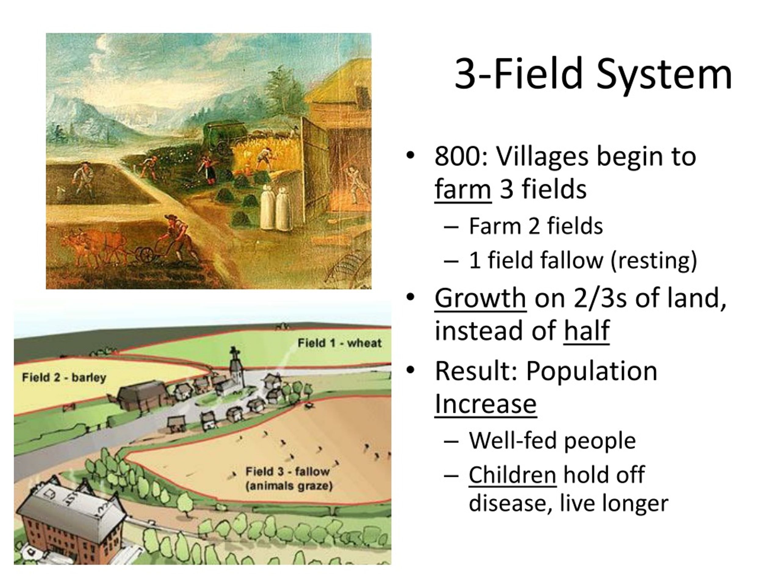 Field system in DerrycammaghField system · 1407 yd
 Enclosure in RoodstownEnclosure · 1567 yd
 Wall monument (present location) in BraganstownWall monument (present location) · 1594 yd
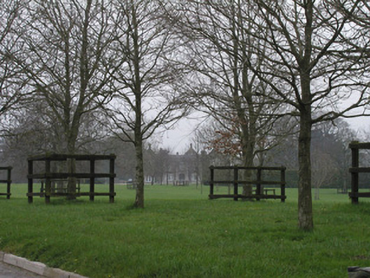 Braganstown Housecountry house · 1622 yd
 Rabbit BurrowWood · 1.0 mi
 Drumcashel FortCastle, motte · 1.1 mi
 Roodstown CastleCastle, tower house · 1.3 mi
 Graveyard in Richardstown (ardee By., Richardstown Par.)Graveyard · 2.1 mi
 Monterey CypressMonterey Cypress · 2.2 mi
 Graveyard in StickillinGraveyard · 2.6 mi
 Drummeenagh HillMountain / peak · 3.1 mi
 Tullydonnell HillMountain / peak · 5.8 mi