What is recorded here
The following description is derived from both the published 'Archaeological Inventory of County Louth' (Dublin: Stationery Office, 1986) and the 'Archaeological Survey of County Louth' (Dublin: Stationery Office, 1991). In certain instances the entries have been revised and updated in the light of recent research.
Date of upload/revision: 17 July 2007
Complex series of cropmarks of which the main feature is a roughly circular enclosure (LH014-025002-) (max. diam. c. 40m) showing on aerial photograph (CUCAP, BDS 69).
The monument record does not grant public access. Check the route and ask the landowner before entering private land.
- What survives
- Recorded monument
Places near here
 Rabbit BurrowWood · 408 yd
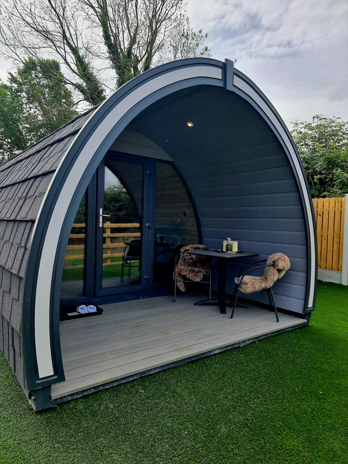 Enclosure in WoodtownEnclosure · 1215 yd
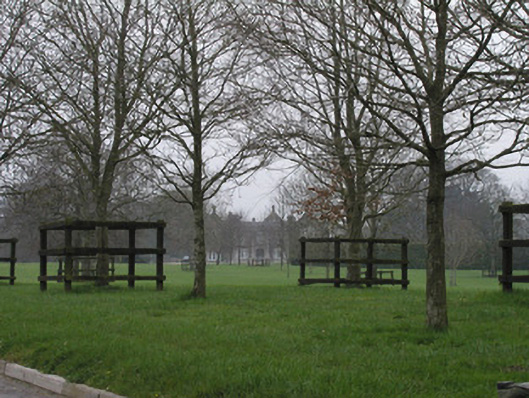 Braganstown Housecountry house · 1392 yd
 Wall monument (present location) in BraganstownWall monument (present location) · 1410 yd
 Derrycammagh FortArchaeological place · 1724 yd
 MoatCastle, motte and bailey · 1.4 mi
 Drumcashel FortCastle, motte · 1.9 mi
 Drummeenagh HillMountain / peak · 2.9 mi
 Graveyard in Richardstown (ardee By., Richardstown Par.)Graveyard · 2.9 mi
 Monterey CypressMonterey Cypress · 3.0 mi
 Graveyard in StickillinGraveyard · 3.2 mi
 Photo GalleryHeritage attraction · 7.5 mi
Other information
Photo: Credit not shown in the picture search · Rights wording not checked; contact us if this picture should be removed