
What is recorded here
Aerial photograph (GB89.H.12) shows cropmark of a curvilinear enclosure defined by a fosse; a second outer fosse encompassed the enclosure on its northern side.
Compiled by: Dr Gillian Barrett for the Archaeological Survey of Ireland.
Date of upload: 10 June 2009
The monument record does not grant public access. Check the route and ask the landowner before entering private land.
- What survives
- Recorded monument
Places near here
 Rabbit BurrowWood · 899 yd
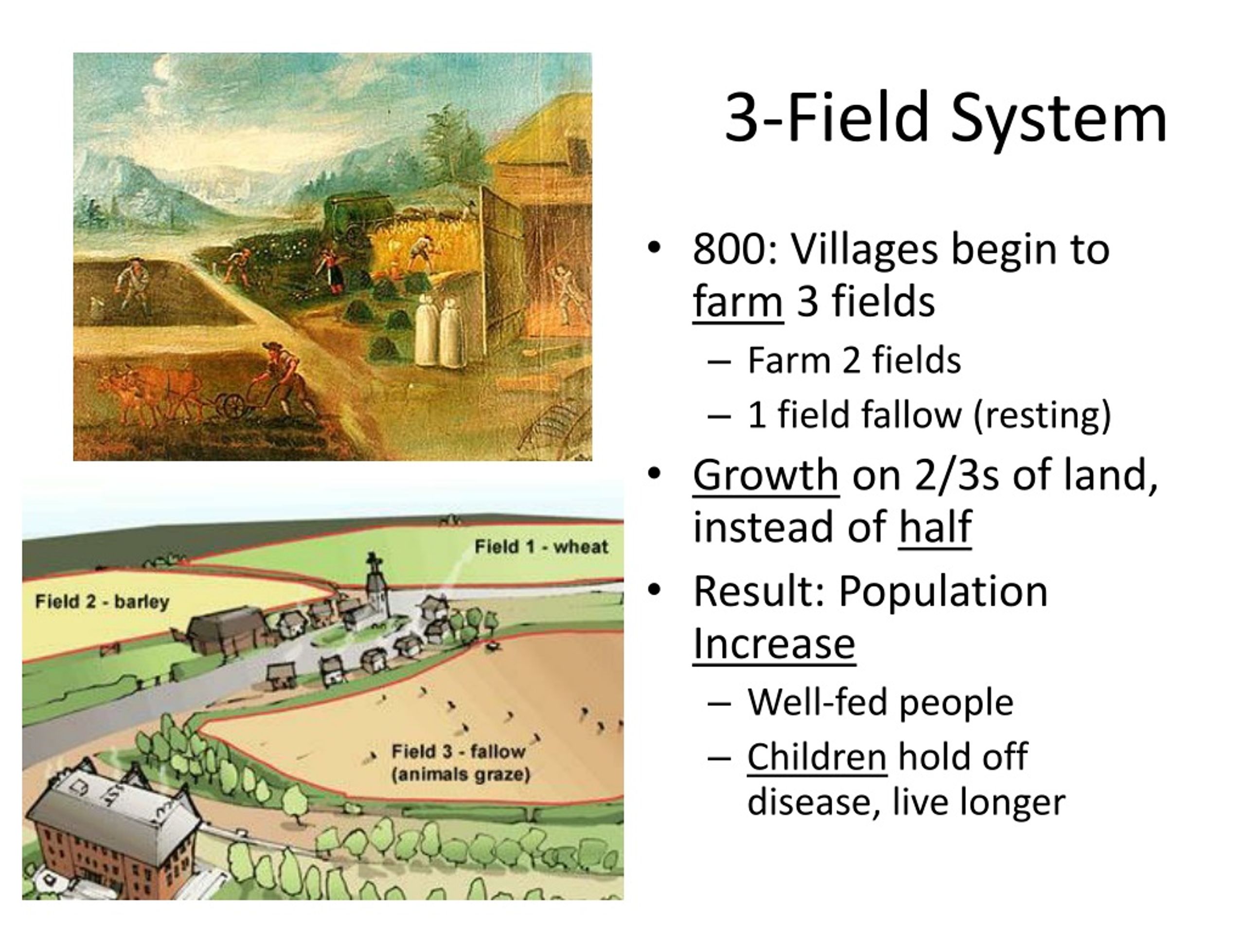 Field system in DerrycammaghField system · 1215 yd
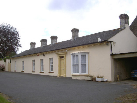 Newtown Darverfarm house · 1707 yd
 Enclosure in ChristianstownEnclosure · 1745 yd
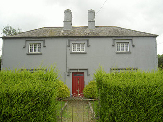 Bawn Houseschool · 1.1 mi
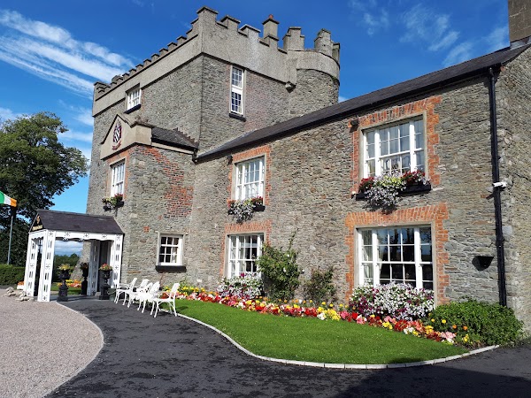 Darver CastleCastle · 1.4 mi
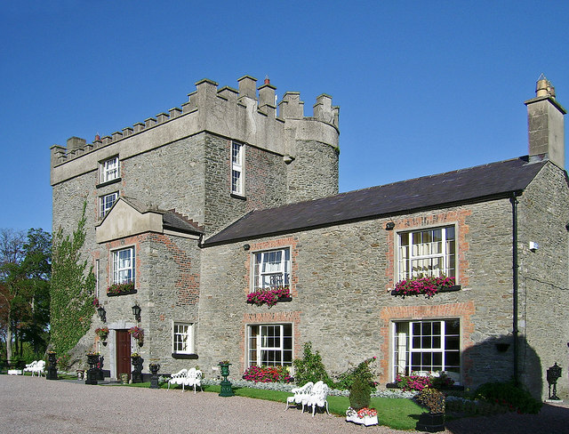 Bawn in DarverBawn · 1.4 mi
 Drummeenagh HillMountain / peak · 2.9 mi
 Graveyard in Richardstown (ardee By., Richardstown Par.)Graveyard · 3.6 mi
 Monterey CypressMonterey Cypress · 3.7 mi
:no_upscale()/cdn.vox-cdn.com/uploads/chorus_asset/file/25593391/County_Louth_6th.jpg) LouthMountain / peak · 3.8 mi
LouthMountain / peak · 3.8 mi Graveyard in StickillinGraveyard · 3.9 mi
Other information
Photo: Credit not shown in the picture search · Rights wording not checked; contact us if this picture should be removed