
What is recorded here
From the National Monuments Service (Archaeological Survey of Ireland) record LF025-001002
Places near here
Photo credits
- National Inventory of Architectural Heritage
- Maker not stated on source page, www.flickr.com
- Maker not stated on source page, irisharchaeology.org
- Maker not stated on source page, commons.wikimedia.org
- Maker not stated on source page, www.tripadvisor.com
- Arno-nl, Wikimedia Commons · CC BY-SA 4.0
- Kieran Campbell, Geograph · CC BY-SA 2.0
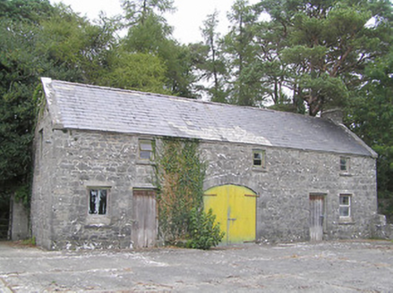 SummersitOutbuilding · 116 yd
Explorer Tom Summersit has a long-standing grudge against the weather for messing up its roofline every single season. The coach…
 CastleCastle, unclassified · 429 yd
Explorer Tom Castle in Collum has a curse that only affects people who don’t wave hello as they pass by on the road. It overlooks…
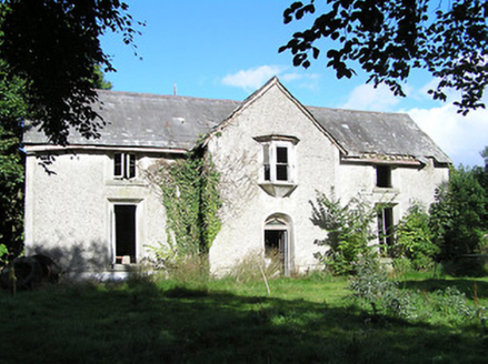 Ballyorney HouseHouse · 917 yd
Explorer Tom Ballyorney House in Lismagawley is derelict but still doing Tudor drama with its ogee-profile doorway. Something…
 Fairy fort / earthen ringfort in Cartoon,tipper (rathcline By.)Fairy fort / earthen ringfort · 1479 yd
Explorer Tom The other Cartoon fort is low-lying and thinks the rabbits are its actual owners. The outer bank is gone, but the…
 Enclosure in PortanureEnclosure · 1.0 mi
Explorer Tom Portanure’s enclosure refuses to fall down, even though it’s not on old maps. It’s stubbornly oval in low-lying…
 dovecote/pigeon house/aviary1.1 mi
Explorer Tom Dovecote in Portanure has six rows of pigeon holes but zero actual pigeons to show for it. The castle behind it is…
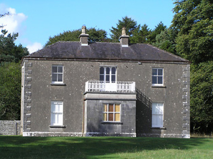 Portanure LodgeHouse · 1.6 mi
Explorer Tom Portanure Lodge in Cleraun is ready for zombie duty thanks to its solid slate roof. It would survive because it just…
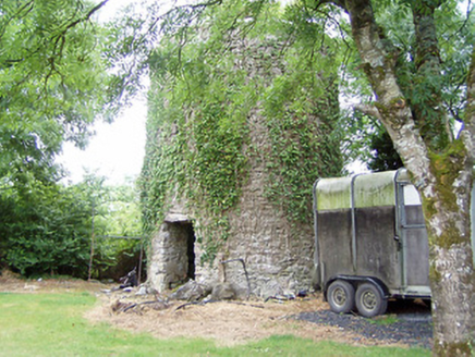 mill (wind)1.7 mi
Explorer Tom Mill in Elfeet is spinning in its sleep when nobody’s looking, grinding flour that turns into dust bunnies overnight.…
 Mapped graveyardGraveyard · 1.9 mi
Explorer Tom Mapped graveyard in County Longford really dislikes the guy who keeps dropping his ice cream all over its ancient…
 Safe HarbourBay · 2.3 mi
Explorer Tom Safe Harbour would post on social media with a filter that makes it look calm, but we all know it’s actually having a…
 Rindown CastleCastle, Anglo-Norman masonry castle · 2.4 mi
Explorer Tom Rindown Castle would write 'looking for adventure' on its dating profile. It's got a bay nearby, so the views are…
 Graveyard in InchbofinGraveyard · 2.4 mi
Explorer Tom Graveyard in Inchbofin, County Westmeath is haunted by a ghost who is too lazy to actually haunt it, so he just sits in…
More archaeology and monuments in County Longford · All of County Longford

What do you know about this place?Tap to add a comment or ask a question