What is recorded here
Enclosure in Portanure, County Longford, is a raised oval pasture, roughly sixty metres long, bounded by a substantial earth and stone bank but never marked on either the 1837 or 1883 maps. Local tradition calls it a burial ground, though no entrance or ditch remains visible. The missing entrance and unrecorded existence suggest people walked past or forgot the place before surveyors arrived.
In low-lying pasture. Not marked on the 1837 or 1883 eds. of the OS 6-inch map. A raised oval area (c. 60m N-S; c. 50m E-W) enclosed from SSW-W-N by a substantial bank of earth and stone (Wth 4m; H 0.8m). From N-E-SSE the defining element is a low scarp (H 0.3m). Elsewhere the perimeter is truncated by an ENE-WSW field boundary. There is no trace of a fosse and the original entrance is not recognisable. A low, curvilinear bank defines the SE quadrant of the interior. According to local information, the enclosure was believed to be a burial ground (LF025-005002-).Compiled by: Patrick F. O'Donovan
Date of upload: 4 February 2012
This remains an important historical record, but the official description says the monument is no longer visible or has been destroyed. The monument record does not grant public access. Check the route and ask the landowner before entering private land.
- What survives
- No visible remains or recorded as destroyed
Places near here
 CastleBawn · 123 yd
 dovecote/pigeon house/aviarydovecote/pigeon house/aviary · 212 yd
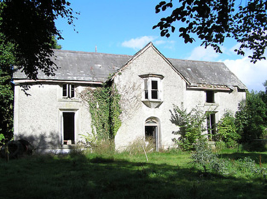 Ballyorney Househouse · 913 yd
 Lady WellHoly well · 1.0 mi
 Pollagh BayBay · 1.3 mi
 Bush IslandIslet · 1.3 mi
 Ecclesiastical enclosure in InchbofinEcclesiastical enclosure · 1.5 mi
 Culnagore WoodForest · 1.5 mi
 InchbofinIslet · 1.6 mi
 Elfeet BayBay · 1.8 mi
 Elfeet CastleCastle, Anglo-Norman masonry castle · 2.0 mi
 RindoonWood · 2.6 mi