What is recorded here
Associated with a fortified house (LF025-006001-). On the 1837 edition of the OS 6-inch map this rectangular bawn (c. 63m ENE–WSW; c. 42m NNW–SSE), possibly of late 16th/early 17th-century date, is shown intact. A building protruding from the centre of the E wall may have been a gatehouse or the fortified house. Angle towers are evident on all four corners. On the OS 25-inch plan (surveyed 1911), the S half of the E wall and most of the S wall do not survive. Only two angle towers are shown: a circular one at the SE corner and a square-shaped one at SW. A building occupies the NE angle of the interior. When visited in 1976 (SMR file) the bawn (H c. 4m) was very ruined but good sections of the walls remained in place on the E, S and W sides. Sections of the W and N walls had been partly rebuilt. Both of the angle towers (H SE tower c. 4m) survived and gun loops were evident on the ground floors of both. The interior was used as a farmyard and a house was built in the NE corner. Little now survives of the E wall and its S half has been re-pointed in recent years. Most of the S wall has been levelled and only a short section of its E end survives. Sheds have been built against the interior of the W wall. The N wall is intact for most of its length but it has been reduced to half of its original height. The angle tower (ext. diam. c. 4.4m) at SE survives to a height of two storeys. It is constructed of uncoursed rubble limestone. Gun loops are evident on both floor levels and there is a narrow, slit ope on the first floor. No visible surface trace of the SW angle tower survives; a haybarn occupies its site. The interior is still used as a farmyard and a number of outbuildings have been constructed within it. A dovecote (LF025-007----) lies c. 60m to the SSE.
Associated with a fortified house (LF025-006001-). On the 1837 edition of the OS 6-inch map this rectangular bawn (c. 63m ENE–WSW; c. 42m NNW–SSE), possibly of late 16th/early 17th-century date, is shown intact. A building protruding from the centre of the E wall may have been a gatehouse or the fortified house. Angle towers are evident on all four corners. On the OS 25-inch plan (surveyed 1911), the S half of…
From the National Monuments Service (Archaeological Survey of Ireland) record LF025-006
The monument record does not grant public access. Check the route and ask the landowner before entering private land.
- What survives
- Recorded monument
Places near here
 dovecote/pigeon house/aviary90 yd
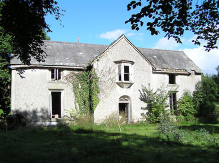 Ballyorney HouseHouse · 1013 ydPollagh BayBay · 1.2 mi
 Ecclesiastical enclosure in InchbofinEcclesiastical enclosure · 1.4 mi
 InchbofinIslet · 1.6 mi
 Leveret IslandIslet · 2.0 mi
 Elfeet CastleCastle, Anglo-Norman masonry castle · 2.1 mi
 Safe HarbourBay · 2.6 mi
 RindoonWood · 2.6 mi
 Rindown CastleCastle, Anglo-Norman masonry castle · 2.6 mi
 Historic town in Warren,rinnaganHistoric town · 2.7 mi
 Corlea Trackway Interpretative CentreHeritage attraction · 5.3 mi
Pictures: National Inventory of Architectural Heritage; Sailko, Wikimedia Commons · CC BY 3.0; David Baird, Wikimedia Commons · CC BY-SA 2.0; David Baird, Geograph · CC BY-SA 2.0; Mike Searle, Geograph · CC BY-SA 2.0; Arno-nl, Wikimedia Commons · CC BY-SA 4.0; Christopher Hilton, Wikimedia Commons · CC BY-SA 2.0; Kieran Campbell, Geograph · CC BY-SA 2.0; Sheila1988, Wikimedia Commons · CC BY-SA 4.0
More castles and forts in County Longford · All of County Longford
What do you know about this place?