What is recorded here
On low-lying ground close to the shore of an inlet of Lough Ree. This spring well is within a circular setting (diam. 1.6m) defined by a mortared stone wall (H 0.45m; Wth 0.52m). The top of the wall has recently been capped with concrete. The entrance is at S where two steps lead down to the water. A holy bush (LF025-001003-) is associated. A mass-rock (LF025-001002-) lies c. 33m to the SSE. O'Donovan
Date of upload: 7 June 2013
From the National Monuments Service (Archaeological Survey of Ireland) record LF025-001001
The monument record does not grant public access. Check the route and ask the landowner before entering private land.
- What survives
- Recorded monument
Places near here
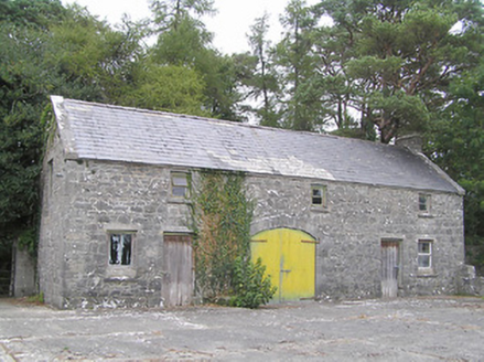 SummersitOutbuilding · 104 yd
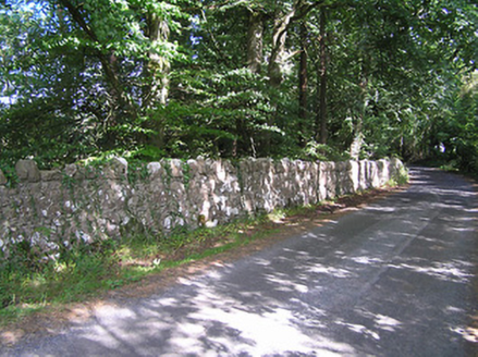 SummersitGates/railings/walls · 162 ydCulnagore WoodForest · 1054 yd
 Elfeet CastleCastle, Anglo-Norman masonry castle · 1.1 mi
 Safe HarbourBay · 2.3 mi
 Historic town in Warren,rinnaganHistoric town · 2.4 mi
 Rindown CastleCastle, Anglo-Norman masonry castle · 2.4 mi
 Ecclesiastical enclosure in InchbofinEcclesiastical enclosure · 2.5 mi
 RindoonWood · 2.5 mi
 InchcleraunIsland · 2.5 mi
 InchbofinIslet · 2.6 mi
 Corlea Trackway Interpretative CentreHeritage attraction · 5.6 mi
Pictures: National Inventory of Architectural Heritage; Mike Searle, Geograph · CC BY-SA 2.0; Arno-nl, Wikimedia Commons · CC BY-SA 4.0; Kieran Campbell, Geograph · CC BY-SA 2.0; Sailko, Wikimedia Commons · CC BY 3.0; Christopher Hilton, Wikimedia Commons · CC BY-SA 2.0; AndreasDelp, Wikimedia Commons · CC BY-SA 4.0; David Baird, Wikimedia Commons · CC BY-SA 2.0; Sheila1988, Wikimedia Commons · CC BY-SA 4.0
More archaeology and monuments in County Longford · All of County Longford
What do you know about this place?