What is recorded here
Castle, unclassified, Collum, Derrydarragh, Longford, Ireland: a castle on an early 17th-century map, possibly overlooking Lough Ree. Whether it stood in Collum or Derrydarragh, it belonged to the wide water-world of Rathcline, where stone and shadow still argue.
A castle is depicted on an early 17th-century map of Rathcline barony (BL, Cotton MS Augustus I.i.48), possibly in the townland of Derrydarragh or Collum, overlooking Lough Ree to the N. Its precise location has not been identified.
Compiled by: Caimin O'Brien
Date of upload: 25 September 2012
The monument record does not grant public access. Check the route and ask the landowner before entering private land.
- What survives
- Recorded monument
Places near here
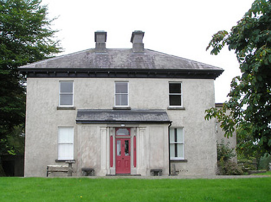 Summersithouse · 323 yd
 Lady WellHoly well · 436 yd
 Bush IslandIslet · 808 yd
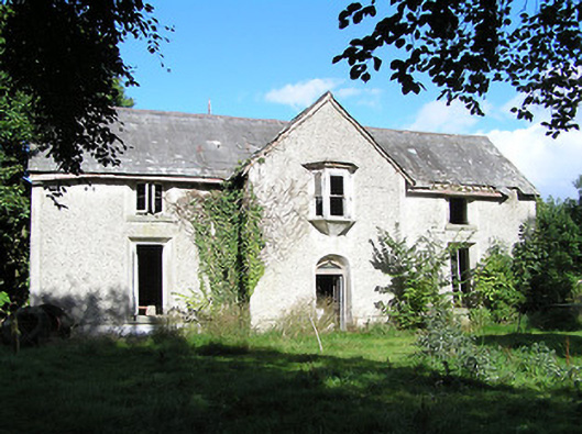 Ballyorney Househouse · 992 yd
 Culnagore WoodForest · 1373 yd
 Elfeet BayBay · 1476 yd
 Leveran IslandIslet · 1476 yd
 CastleBawn · 1.1 mi
 Elfeet CastleCastle, Anglo-Norman masonry castle · 1.3 mi
 Rinnagan PointHeadland · 1.5 mi
 St. John's WoodWood · 1.9 mi
 Grave YardGraveyard · 2.0 mi