
Places near here
Photo credits
- National Inventory of Architectural Heritage
- Kmcnamee, Wikimedia Commons · CC BY-SA 4.0
- Maker named on the Wikimedia Commons picture page · CC BY-SA 3.0
- Lin linao, Wikimedia Commons · CC BY-SA 4.0
- Richard Webb, Wikimedia Commons · CC BY-SA 2.0
- Gordon Hatton, Geograph · CC BY-SA 2.0
 Dromore CottageHouse · 1279 yd
Explorer Tom Dromore Cottage in County Cork is playing possum. It’s got that rare 'formal design' thing going on, which makes it…
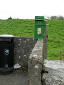 post box1363 yd
Explorer Tom Post box in Dromore is cast-iron and rare because everyone else switched to plastic, which makes this one feel like a…
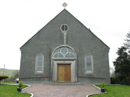 St. Joseph's Roman Catholic ChurchChurch/chapel · 1428 yd
Explorer Tom St. Joseph's Roman Catholic Church in Dromore is the largest building in the village and sits on an elevated site. It…
 Dromore SchoolSchool · 1740 yd
Explorer Tom Dromore School was built during a feud over who owned the view from the master's house. It stands as a reminder that…
 farm house1.4 mi
Explorer Tom Farm house in Baurgorm creaks like an old boat at night, which locals swear is the wind complaining about the rain.…
 Tadhg Mac Carthaigh GAA pitchGAA ground · 1.6 mi
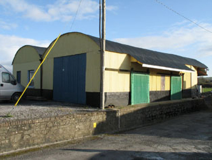 railway station5.2 mi
Explorer Tom Railway station in Derreeny is actually just some outbuildings now, but it was a station in 1877. The corrugated iron…
 Derreeney HouseCountry house · 5.8 mi
Explorer Tom Derreeney House is a classic nineteenth-century middle-class flex with a well-balanced façade that refuses to let go of…
 Dawn Redwood6.0 mi
Explorer Tom Dawn Redwood in Cork is keeping secrets that would make your mother-in-law blush. It says it only tells them after…
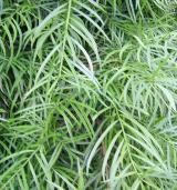 Willow-leaf podocarp6.0 mi
Explorer Tom Willow-leaf podocarp in County Cork would win a county fair for best exotic look without even trying hard at all. It’s…
 KnockastumpaMountain / peak · 17 mi
Explorer Tom Knockastumpa in County Kerry is home to one stubborn bird that absolutely refuses to leave, despite several offers of…
 Ormond's IslandIslet · 20 mi
Explorer Tom Ormond's Island brags about surviving a storm so huge it claimed the waves were actually giant whales trying to eat it.…
More archaeology and monuments in County Cork · All of County Cork

What do you know about this place?Tap to add a comment or ask a question