
What is recorded here
Situated just off the summit of a small knoll known as Gibbet Hill, on a plateau overlooking the River Suir. A conglomerate stone with a rectangular cross-section (dims. 1m x 0.45-0.6m; max. H 1.4m) is oriented N-S. Archaeological testing (03E0957) in the surrounding area by Colm Moloney (2006) and Catriona Gleeson…
Read the whole record
From the National Monuments Service (Archaeological Survey of Ireland) record WA009-015
Places near here
Photo credits
- National Inventory of Architectural Heritage
- Maker not stated on source page, au.pinterest.com
- Munster GAA (publisher; photographer not named), munster.gaa.ie
- Maker not stated on source page, www.irishmirror.ie
 ward boundary marker98 yd
Explorer Tom This Gibbethill ward boundary marker thinks Dublin tourists are all cowards for not knowing where they’re standing.…
 RocklandsHouse · 425 yd
Explorer Tom Rocklands in Waterford has a secret talent for juggling its own shadows at sunset, which it practices when the…
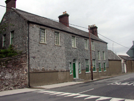 Prospect LodgeHouse · 793 yd
Explorer Tom Prospect Lodge in Waterford City is throwing a serious tantrum with the next village over who think their chimneys are…
 CastleCastle, unclassified · 825 yd
Explorer Tom This mysterious Brass Castle at Gibbethill bragged about surviving a storm so fierce it shook the very foundations of…
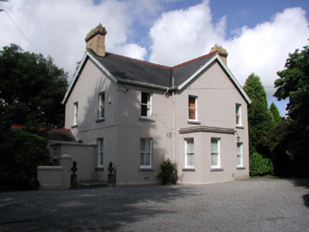 Tycor HouseHouse · 947 yd
Explorer Tom Tycor House refuses to fall down because it’s too proud to admit it was built for people who could afford good shoes.…
 post box1016 yd
Explorer Tom Post box in Waterford City on Gracedieu Road does secret aerobics when nobody’s looking to keep its cast ironwork from…
 SummerlandHouse · 1029 yd
Explorer Tom Summerland in Waterford City is wearing stained glass like it’s a very expensive necklace it found at a car boot sale.…
 Suir BridgeBridge · 1238 yd
Explorer Tom Suir Bridge is teaching history lessons to anyone who listens, mostly about how rusty iron can be surprisingly…
 chimney1248 yd
Explorer Tom That chimney in Browley West is still puffing out its chest like it hasn’t seen a jute sack since 1937, standing guard…
 Walsh Park, Waterford GAAGAA ground · 1338 yd
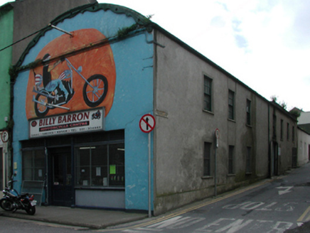 workshop1539 yd
Explorer Tom Workshop on O'Connell Street has a barrel roof that looks like it swallowed a modern car and is still digesting it. It…
 Páirc Reinhardt, Naomh PólGAA ground · 1.0 mi
More archaeology and monuments in County Waterford · All of County Waterford

What do you know about this place?Tap to add a comment or ask a question