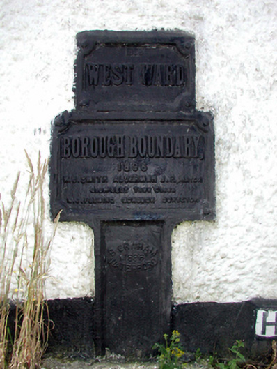
What is recorded here
Wall-mounted cast-iron borough boundary plate, dated 1896. Set in roughcast wall.
A borough boundary plate supplied (1896) by B. [Benjamin] Graham (established 1788) of The Quay, Waterford, representing an interesting example of cast-iron work making a pleasing, if largely inconspicuous visual statement in an increasingly suburbanised rural street scene. NOTE: The borough boundary plate, installed to mark the revised boundary of Waterford City in anticipation of the Local Government (Ireland) Act of 1898, carries the names of Alderman William Joseph Smith (1838-1903), James Joseph Feely (----) and Michael Joseph Fleming (c.1843-1910), Borough Surveyor for Waterford City (appointed 1881).
This does not grant access. Most recorded buildings are privately owned; view them only from public ground unless the owner allows entry.
Places near here
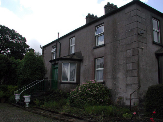 Rocklandshouse · 443 yd
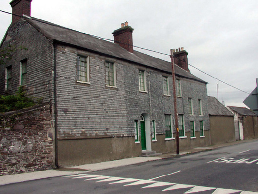 Prospect Lodgehouse · 822 yd
 Structure in Gracedieu WestStructure · 1.0 mi
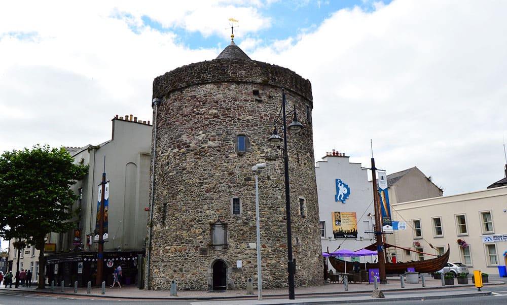 Semi-Lunar TowerCastle · 1.1 mi
 Habitation site in Knockhouse LowerHabitation site · 1.2 mi
 Granny CastleCastle, tower house · 1.4 mi
 Native Woodland Trust:Grace Dieu ReserveWood · 1.5 mi
 Native Irish Tree TrailWood · 2.0 mi
 Mount Congreve GardensHeritage attraction · 3.6 mi
 Sugar Loaf RockMountain / peak · 4.1 mi
 Waterford & Suir Valley RailwayHeritage attraction · 4.8 mi
 Ballyscanlon HillMountain / peak · 7.6 mi
Other information
Photo: National Inventory of Architectural Heritage · Website use allowed for educational or private purposes with source credit