
What is recorded here
On a natural steep-sided hillock, with a gradual slope on the E side and a stream c. 12m to S. A raised roughly oval area (14m N-S; 16m E-W) defined by a scarp (H 1.6m) along the S, W and N arcs and by a lower scarp along the E arc. The scarp on the W side descends to a small semicircular platform (Wth 6m) which is in turn defined by a scarp (H 0.8m). There is a possible entrance on E side where the hillslope is gradual and the scarp is poorly defined. The interior slopes down to E. There is a holy well (SL034-045----) c. 60m to SE.
The above description is derived from the published 'Archaeological Inventory of County Sligo' compiled by Ursula Egan, Elizabeth Byrne, Mary Sleeman with Sheila Ronan and Connie Murphy (Dublin Stationery Office, 2005).
Date of upload: 18 January 2008
Rahan Fort, Ardagh is a ringfort, likely dating to the early medieval period, characterized by a raised oval platform surrounded by a scarp. Local tradition associates such forts with the mythical Tuatha Dé Danann or with fairy dwellings, reflecting their enduring presence in Irish folklore.
The monument record does not grant public access. Check the route and ask the landowner before entering private land.
- What survives
- Recorded monument
Places near here
 TobermoneenHoly well · 88 yd
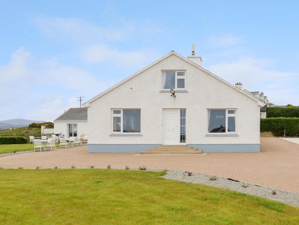 Enclosure in ArdaghEnclosure · 214 yd
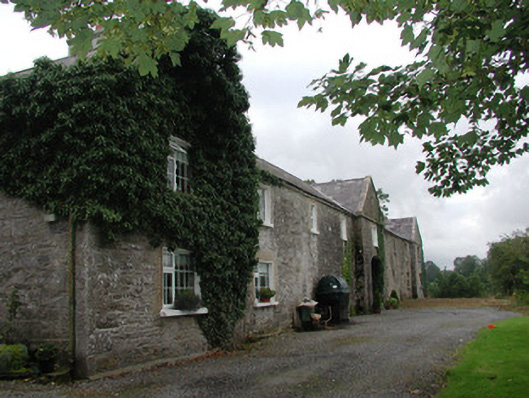 Ardagh Housefarmyard complex · 1482 yd
 Drumcolumb Church (in Ruins)Church · 1.0 mi
 Riverstown Folk ParkHeritage attraction · 1.6 mi
 Castle Douglas (Site of)Castle, unclassified · 1.7 mi
 Coola Castle (in Ruins)Bawn · 2.7 mi
 Annaghgowla IslandIslet · 3.2 mi
 Barroe NorthMountain / peak · 3.2 mi
 InishmoreIslet · 3.5 mi
 James MorrisonMemorial · 3.6 mi
 School CaveCave · 4.4 mi
Other information
Photo: Credit not shown in the picture search · Rights wording not checked; contact us if this picture should be removed