What is recorded here
Fairy fort / earthen ringfort in Drumraine (tirerrill By.) is a fairy fort or earthen ringfort in Drumraine (tirerrill By.), County Sligo, Ireland. The D-shaped site measures 24m NE-SW and 22m NW-SE on a NW-facing ridge slope. Remains of an earthen bank enclose the SSE-NE side, while a linear field boundary forms the straight SE edge. The northern bank is relatively straight and was once incorporated into the field boundary system.
In pasture, on the NW-facing slope of a ridge with the ground sloping off immediately to N and S. A raised D-shaped area (24m NE-SW; 22m NW-SE), enclosed by the remains of an earthen bank (Wth 2.4m; int. H 0.4m; ext. H 1.1m) SSE-NE and by a linear NE-SW field boundary on the straight SE side. The bank at N is relatively straight and was once incorporated into the field boundary system. The interior is level.
The above description is derived from the published 'Archaeological Inventory of County Sligo' compiled by Ursula Egan, Elizabeth Byrne, Mary Sleeman with Sheila Ronan and Connie Murphy (Dublin Stationery Office, 2005).
Date of upload: 18 January 2008
The monument record does not grant public access. Check the route and ask the landowner before entering private land.
- What survives
- Recorded monument
Places near here
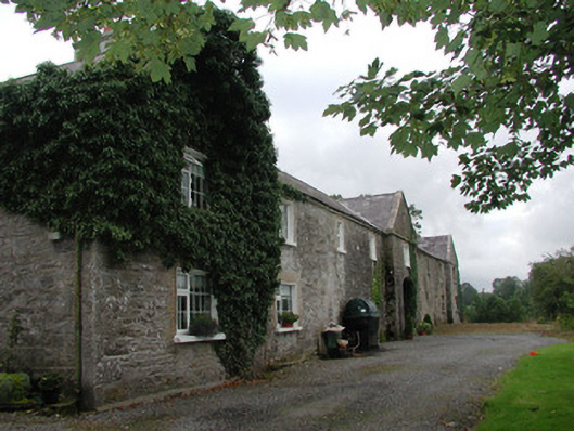 Ardagh Housefarmyard complex · 905 yd
 TobernaglashyHoly well · 929 yd
 Flanigans FortFairy fort / earthen ringfort · 1039 yd
 Catholic Church of the Sacred Heartchurch/chapel · 1.2 mi
 Riverstown Folk ParkHeritage attraction · 1.3 mi
 Castle Douglas (Site of)Castle, unclassified · 1.6 mi
 Behy Castle (in Ruins)Castle, tower house · 2.2 mi
 James MorrisonMemorial · 3.2 mi
 Annaghgowla IslandIslet · 3.2 mi
 InishmoreIslet · 3.6 mi
 School CaveCave · 3.8 mi
 Bricklieve MountainsMountain / peak · 4.1 mi