
What is recorded here
In pasture, built into a moderate NNE-facing slope. A raised roughly circular area (25m N-S; 29m E-W) defined by an earthen bank (int. H 1.95m; ext. H 0.9m) ESE-NW and by a scarp (H 1.9m) elsewhere. A fosse (D 0.6m) is evident SE-NNW, infilled but evident as a band of dark grass NNW-E; elsewhere a field drain has been cut through the fosse. The base of the fosse SE-W is higher than the level of the interior as it is cut into the hillslope. The interior slopes down to NNE, is wet and covered with rushes. The N portion has been raised to compensate for the hillslope. Field boundaries abut the bank at SW and NW. Another rath (SL034-091----) lies c. 20m to SW.
The above description is derived from the published 'Archaeological Inventory of County Sligo' compiled by Ursula Egan, Elizabeth Byrne, Mary Sleeman with Sheila Ronan and Connie Murphy (Dublin Stationery Office, 2005).
Date of upload: 18 January 2008
Flanigans Fort is a ringfort, likely dating to the early medieval period, characterized by a circular earthen bank and fosse. Local tradition associates such sites with fairy lore, and it may have been considered a dwelling place of the "good people" in folklore.
The monument record does not grant public access. Check the route and ask the landowner before entering private land.
- What survives
- Recorded monument
Places near here
 Rocks FortFairy fort / earthen ringfort · 402 yd
 LisnagaelFairy fort / earthen ringfort · 757 yd
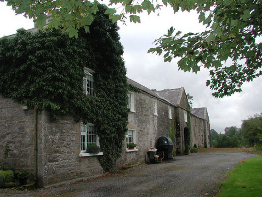 Ardagh Housefarmyard complex · 1.1 mi
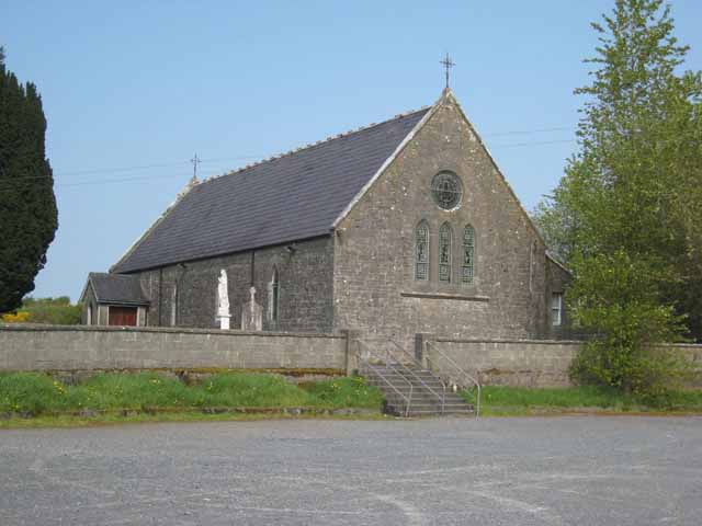 Saint Patrick's Catholic Churchchurch/chapel · 1.2 mi
 Riverstown Folk ParkHeritage attraction · 1.8 mi
 Castle BaldwinCastle · 1.9 mi
 Castle Douglas (Site of)Castle, unclassified · 2.2 mi
 Annaghgowla IslandIslet · 2.6 mi
 InishmoreIslet · 3.1 mi
 School CaveCave · 3.4 mi
 Bricklieve MountainsMountain / peak · 3.5 mi
 Treanscrabbagh caveCave · 3.6 mi
Other information
Photo: Credit not shown in the picture search · Rights wording not checked; contact us if this picture should be removed