What is recorded here
Discovered during archaeological trial test trenching in 2001 (Excavation Licence 01E0150). It took the form of an oval shaped pit (max. diam. 0.45m; D 0.1m) which was filled with heavily stained charcoal soil and flecks of cremated bone. Bone analysis required to check if bone is human. (O' Carroll 2003, 268)
Reference:
O'Carroll, F. 2003 Mountbagnall. In I. Bennett (ed.), Excavations 2001: summary accounts of archaeological excavations in Ireland, 268, (no. 873). Bray. Wordwell.
Compiled by: Claire Breen
Date of upload: 8 March 2012
A Neolithic pit-burial; wider significance not recorded.
The monument record does not grant public access. Check the route and ask the landowner before entering private land.
- What survives
- Recorded monument
Places near here
 Mount Bagnell FoerCastle, motte and bailey · 79 yd
 Newtown Burying GroundGraveyard · 116 yd
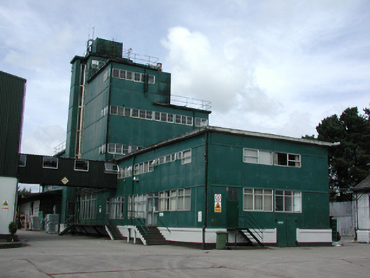 factoryfactory · 531 yd
 Enclosure in CastletowncooleyEnclosure · 943 yd
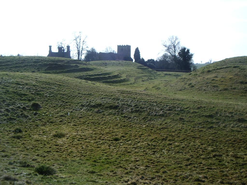 CastleCastle, motte · 960 yd
 Castletown Househouse · 1120 yd
 The BushPicnic place · 1.4 mi
 Grange UpperMountain / peak · 1.5 mi
 SlievenagloghMountain / peak · 1.8 mi
 Carlingford - Loop 1A- Commons LoopWalking route · 3.1 mi
 Carlingford Heritage CentreVisitor information · 3.3 mi
 Graveyard in Liberties OF CarlingfordGraveyard · 3.3 mi