What is recorded here
Castle Carragh is a phantom castle in Castlecarragh, drawn as a small house on a 1777 map and absent the year after. It may never have been more than a room beside a lake, or a castle forgotten so completely that even its own marker disappeared. Louth keeps this gap intact: a place named, pictured, then withheld.
There is a local tradition of castle site beside a lake. Marked as the site of 'Castle Carragh' on Taylor and Skinner's map of 1777, but it is depicted as a small house. The precise location is not known and it is not marked on the 1778 edition of Taylor and Skinner's map.
The above description is derived from both the published 'Archaeological Inventory of County Louth' (Dublin: Stationery Office, 1986) and the 'Archaeological Survey of County Louth' (Dublin: Stationery Office, 1991). In certain instances the entries have been revised and updated in the light of recent research.
Date of revision: 9 May 2016
The monument record does not grant public access. Check the route and ask the landowner before entering private land.
- What survives
- Recorded monument
Places near here
 Enclosure in CastlecarraghEnclosure · 483 yd
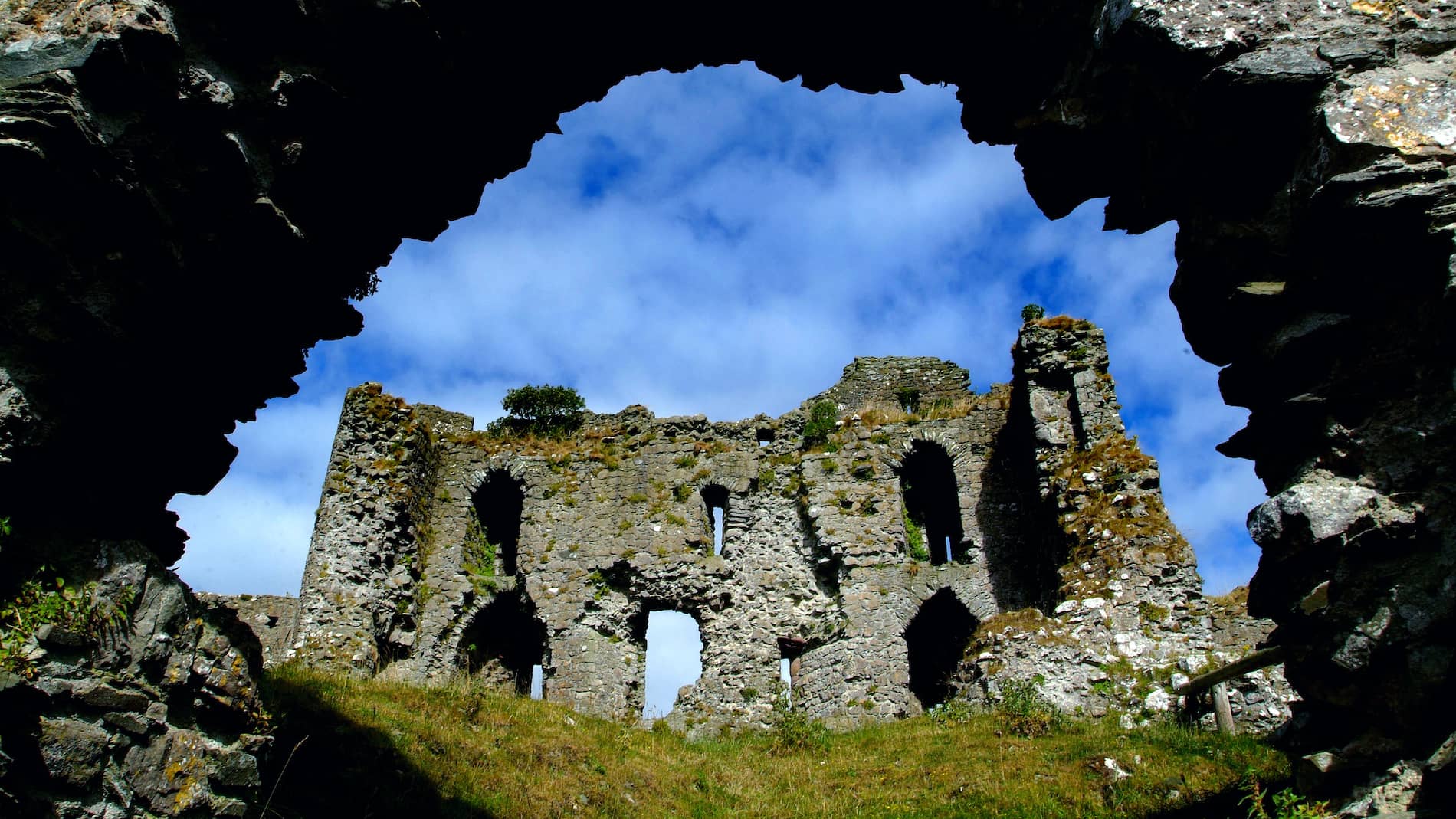 Man-made underground passage in CastlecarraghMan-made underground passage · 489 yd
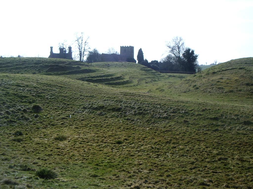 CastleCastle, motte · 743 yd
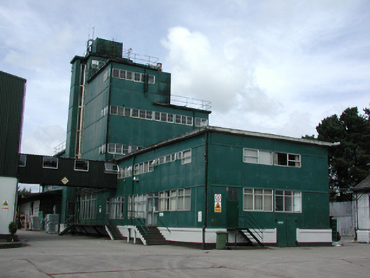 factoryfactory · 1267 yd
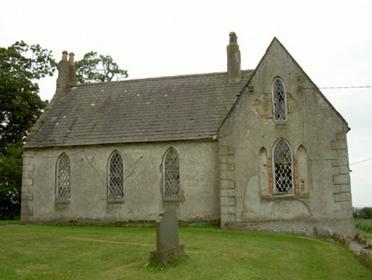 Saint Andrew's Church (Carlingford)school · 1485 yd
 Mount Bagnell FoerCastle, motte and bailey · 1651 yd
 The BushPicnic place · 1690 yd
 Grange UpperMountain / peak · 1.8 mi
 SlievenagloghMountain / peak · 2.7 mi
 Cooley PointHeadland · 2.9 mi
 Carlingford - Loop 1A- Commons LoopWalking route · 3.4 mi
 St James WellSpring · 3.5 mi