
What is recorded here
The partial remains of a medieval nave and chancel church (WM020-128----) with residential tower on E end of N wall of church can be seen adjoining the E gable of the 19th century church of Ireland church dedicated to St. Etchen which stands in the centre of a large roughly rectangular shaped graveyard (dims. 95m E-W…
Read the whole record
From the National Monuments Service (Archaeological Survey of Ireland) record WM020-128001
Places near here
Photo credits
- Dylan Moore, Geograph · CC BY-SA 2.0
- National Inventory of Architectural Heritage
- Maker not stated on source page, www.newslocker.com
- Maker not stated on source page, tr.pinterest.com
- Maker not stated on source page, www.flickr.com
- Photographer not named; image published by Ciarán Leech & Associates Ltd, www.ciaranleech.ie
- Photographer not named on article, www.westmeathexaminer.ie
 Saint Etchen's Church (Killucan)Church/chapel · 26 yd
Explorer Tom Saint Etchen's Church in Killucan is probably worrying about what the rabbits think of its tower, because they’ve been…
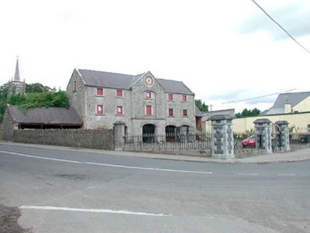 Killucan Market HouseMarket house · 74 yd
Explorer Tom Killucan Market House had a fake royal visit where a man in a wig sold overpriced cabbages and nobody could disprove…
 Holy well in Glebe (farbill By.)Holy well · 78 yd
Explorer Tom Holy well in Glebe would survive a zombie attack by hiding under the water where they’re too scared to look. St.…
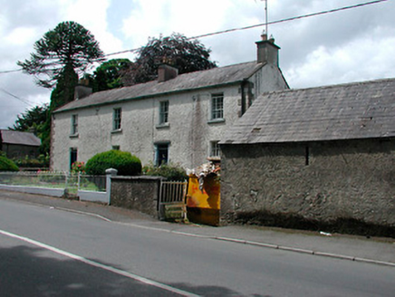 Rose LodgeHouse · 137 yd
Explorer Tom Rose Lodge in Rathwire Upper is an elegant house in Killucan that looks like it might have been two houses stitched…
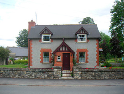 Rose CottageHouse · 164 yd
Explorer Tom Rose Cottage in Killucan is such a rare Arts-and-Crafts gem that the Vikings supposedly got lost looking for it and…
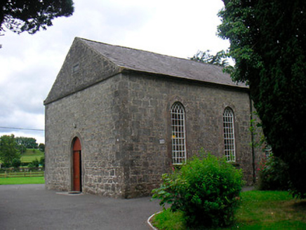 Killucan Presbyterian ChurchChurch/chapel · 196 yd
Explorer Tom Killucan Presbyterian Church is haunted by a ghost who is far too lazy to actually haunt anything properly. It’s just…
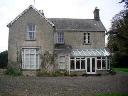 The ManseManse · 222 yd
Explorer Tom The Manse was built after two lads bet fifty quid that they could construct a church before Sunday. It’s just a…
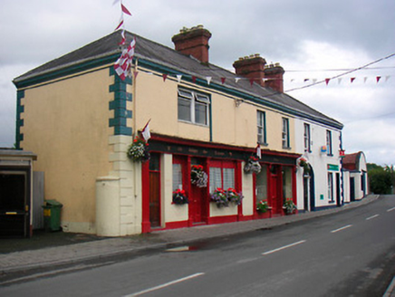 public house252 yd
Explorer Tom This pub in Killucan has a shopfront that is so symmetrical it’s almost annoying, like a very well-dressed twin. Some…
 Fairy fort / earthen ringfort in KillucanFairy fort / earthen ringfort · 540 yd
Explorer Tom Killucan Fairy Fort hosted a dance so wild the bank still hasn’t recovered from all the stomping and shouting. It’s…
 Rathwire Moat & CastleCastle, unclassified · 550 yd
Explorer Tom Rathwire Moat & Castle loves to sing 'Sweet Caroline' but only in a minor key because it’s feeling dramatic today. It’s…
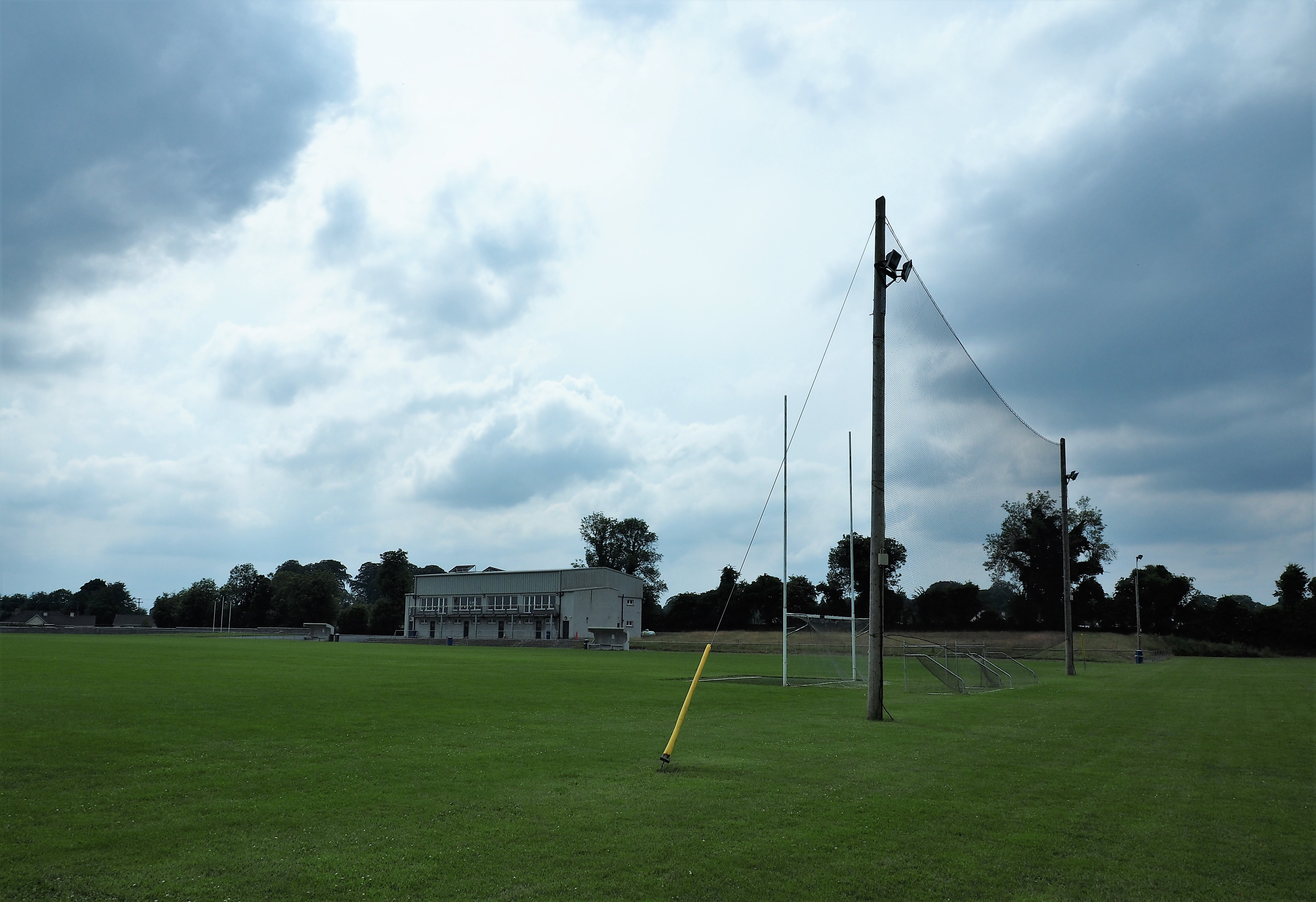 Killucan GAA pitchGAA ground · 722 yd
 Raharney GAA pitchGAA ground · 1.1 mi
More archaeology and monuments in County Westmeath · All of County Westmeath

What do you know about this place?Tap to add a comment or ask a question