What is recorded here
The Cross is indicated in gothic script on latest ed. OS 6-inch map. This cross has since been moved and is no longer located at this spot. It has been moved and placed with a group of wayside crosses between the villages of Killucan and Rathwire (WM020-0135001-). One of three wayside crosses (WM020-135/001/002-) of…
Read the whole record
The Cross is indicated in gothic script on latest ed. OS 6-inch map. This cross has since been moved and is no longer located at this spot. It has been moved and placed with a group of wayside crosses between the villages of Killucan and Rathwire (WM020-0135001-). One of three wayside crosses (WM020-135/001/002-) of which only one (WM020-135) is in its original location prior to 1976. The cross was moved from the village to its current location. Described in 1976 as 'Darcy 1604 with Latin inscription, shaft grooved and now dislodged and broken. Squared base.' (ASI Survey files 1976). A second report from 1998 described this cross as 'A cross shaft consisting of two stones, inserted in a boulder, which may be the original base, but cannot be certain. The lower stone (H 0.58m ; 0.27m x 0.27m) is grooved along the edges vertically. The stone cement bonded to the top of the lower stone is square sectioned (H 0.43m; Wth 0.26m ; T 0.26m) . On the top of the surface of this stone is a coating of copper with fragment of slate embedded, and there is an iron pin (dims. 0.08m; H 0.02m) projecting upwards. No trace of the inscription described in 1976 can now be deciphered.' (ASI Survey file 1998).
From the National Monuments Service (Archaeological Survey of Ireland) record WM020-127
Places near here
Picture notes
- National Inventory of Architectural Heritage
- Dylan Moore, Geograph · CC BY-SA 2.0
- Computer-made picture. It does not show this monument.
- Computer-made picture. It does not show this holy well.
- MookiePlays, Wikimedia Commons · CC BY-SA 4.0
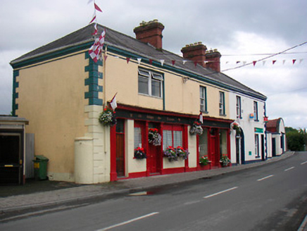 public house40 yd
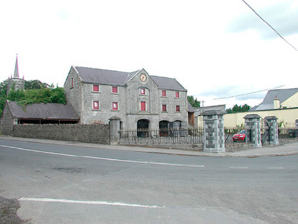 Killucan Market HouseMarket house · 155 yd
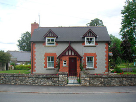 Rose CottageHouse · 179 yd
 Saint Etchen's Church (Killucan)Church/chapel · 206 yd
 Font in Glebe (farbill By.)Font · 206 ydComputer-made picture
 Ecclesiastical enclosure in Glebe (farbill By.)Ecclesiastical enclosure · 212 ydComputer-made picture
 OutlinedGraveyard · 212 ydComputer-made picture
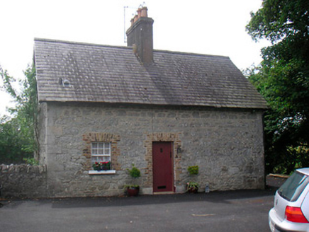 The CottageHouse · 222 yd
 Holy well in Glebe (farbill By.)Holy well · 277 ydComputer-made picture
 Fairy fort / earthen ringfort in KillucanFairy fort / earthen ringfort · 330 ydComputer-made picture
 Bawn in RattinBawn · 5.0 mi
 Rattin CastleCastle, tower house · 5.0 mi
More archaeology and monuments in County Westmeath · All of County Westmeath

What do you know about this place?Tap to add a comment or ask a question