
What is recorded here
Rathwire Castle rose as a steep motte and kidney-shaped bailey near Killucan, possibly built by Hugh de Lacy between 1182 and 1187 on the older Rath Guaire site. Robert de Lacy held it in 1211, while broken stone in the surrounding ditch hints at a later medieval tower that has since vanished. The earthworks still mark where human hands shaped the land, even if the castle itself has faded into mystery.
Situated in a low rise of ground 440m SSW of St. Etchen's Church (WM020-128----) and the village of Killucan. Rathwire motte and bailey castle possibly built by Hugh de Lacy between 1182-7 on the site of an earlier fortress known as Rath Guaire (O'Donovan 1856, 970; Adams 1960, 31; Brady 1961, 39-40). The castle of Rathwire is mentioned in the Irish Pipe Roll of 1211-12 when it was in the possession of Robert de Lacy (Davies & Quinn 1941, 45, 7).
The monument today consists of a large steep-sided flat-topped mound with kidney-shaped bailey to S separated by a fosse which contains masonry fragments of a stone castle (WM020-125002-) possibly of early 13th century date (Adams 1960, 31). No foundations visible of stone castle which may have been a later medieval structure standing in the bailey which was enclosed by an earthen bank and external fosse. The public road intersects the E side of the bailey with no evidence of the enclosing element of the bailey at E. A linear earthwork (approx. L 143m) 60m N of the motte could possibly be remains of enclosing element associated with the stone castle, or possibly the enclosing element of a pre-Norman enclosure. Alternatively the curving earthwork of the bailey tot he S of the motte which is intersected by the modern road at E could be the remains of a pre-Norman enclosure with the earthworks to the N the remains of the medieval bailey.
Earthworks in field to S of motte may be remains of post-1700 field system with evidence of quarry holes 120m S of bailey. Remains of a possible trackway are visible running N from the quarry hole towards the bailey of the castle. The OS 25-inch map shows the presence of a post-1700 limekiln located immediately SW of the enclosing fosse of the bailey which may be related to the quarry holes and the trackway.
See attached ASI ketch plan of motte and bailey showing remains of earthworks to N of castle mound
Compiled by: Caimin O'Brien
Date of upload: 12 July 2019
Possibly built by Hugh de Lacy between 1182 and 1187, Rathwire Moat & Castle is remembered as part of the Norman expansion in Ireland, constructed on the site of an earlier fort, reflecting strategic control of the region.
The monument record does not grant public access. Check the route and ask the landowner before entering private land.
- What survives
- Recorded monument
Places near here
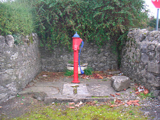 water pumpwater pump · 122 yd
 CrossCross, Wayside cross · 266 yd
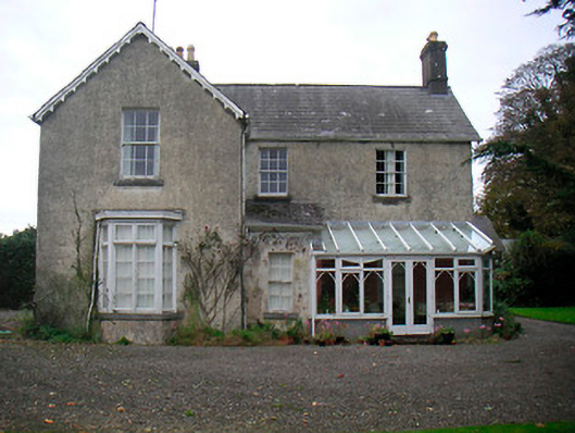 The Mansemanse · 315 yd
 TobermíonadHoly well · 1096 yd
 CastleCastle, unclassified · 1.0 mi
 Bawn in Kerinstown and Balrowan (rowley)Bawn · 1.2 mi
 GinkgoGinkgo · 4.3 mi
 ScregganWood · 5.3 mi
 Croppies' GraveMemorial · 7.8 mi
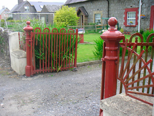 gates/railings/wallsgates/railings/walls · 327 yd
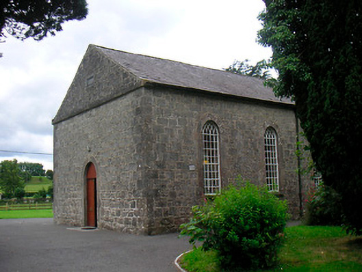 Killucan Presbyterian Churchchurch/chapel · 332 yd
 The Rectoryrectory/glebe/vicarage/curate's house · 388 yd
Other information
Photo: Credit not shown in the picture search · Rights wording not checked; contact us if this picture should be removed