What is recorded here
On a low natural rise of ground now incorporated into a post-1700 farmyard. On the 1837 ed. OS 6-inch map the castle is depicted as an L-shaped freestanding building located a few metres to the S of a small garden plot or farmyard. On this map the castle is depicted as an upstanding structure with N end of castle…
Read the whole record
From the National Monuments Service (Archaeological Survey of Ireland) record WM027-015
Places near here
Photo credits
- Maker not stated on source page, www.britainexpress.com
- National Inventory of Architectural Heritage
- Maker not stated on source page, www.airbnb.co.za
- Scaramanga731, Wikimedia Commons · CC BY-SA 4.0
- Royalcanalrunner, Wikimedia Commons · CC BY-SA 4.0
- Maker not stated on source page, theirishaesthete.com
- Maker not stated on source page, www.dreamstime.com
- Maker not stated on source page, leadingestates.com
- Maker not stated on source page, www.flickr.com
 Standing stone in Porterstown (cooke)Standing stone · 431 yd
Explorer Tom Standing stone in Porterstown is guarding a hidden treasure that is definitely just a rusty biscuit tin from 1952 that…
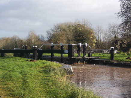 24th LockLock · 728 yd
Explorer Tom 24th Lock in Porterstown is sick of being asked if it actually works anymore because it’s just a beautiful piece of…
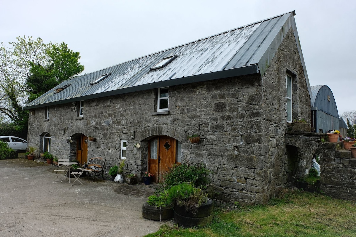 Cist in Balrowan (packenham)Cist · 771 yd
Explorer Tom Cist in Balrowan has very strong opinions about modern buildings, specifically that they lack soul and are probably…
 25th LockLock · 780 yd
Explorer Tom 25th Lock in Porterstown has an opinion of the road that leads to it: it thinks the road is jealous because the lock…
 Footy's BridgeBridge · 854 yd
Explorer Tom Footy's Bridge has a family tree that is mostly made up by people who just wanted a name for it. It’s a canal bridge…
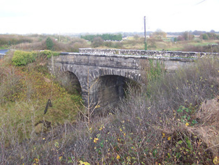 bridge881 yd
Explorer Tom Bridge in Porterstown has made a New Year's resolution to stop letting trains cross it without saying thank you first.…
 23rd LockLock · 959 yd
Explorer Tom 23rd Lock in Riverstown has a family tree mostly made up by its own workers who decided to name their kids after the…
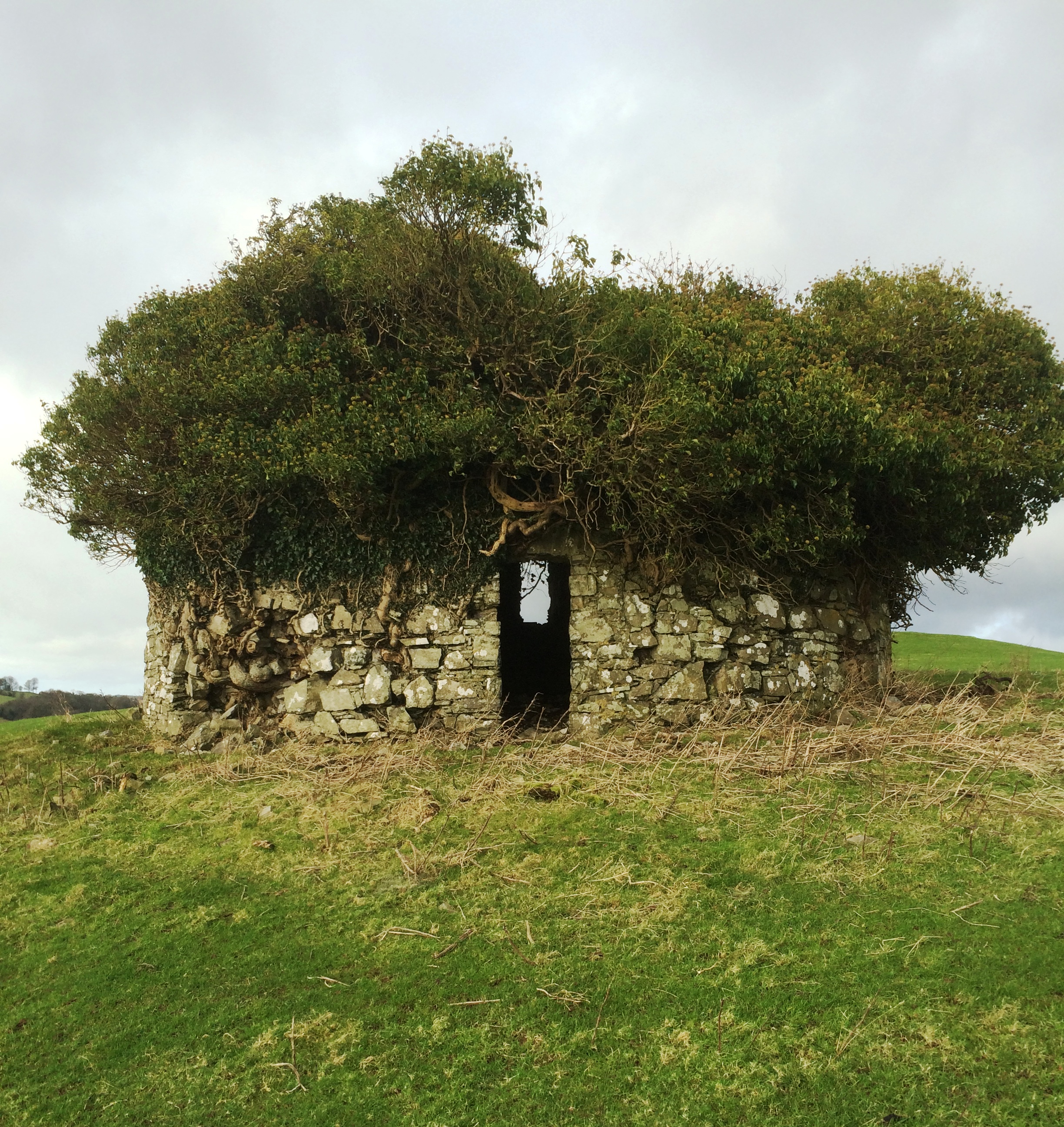 Fairy fort / earthen ringfort in Balrowan (packenham)Fairy fort / earthen ringfort · 1048 yd
Explorer Tom Fairy fort / earthen ringfort in Balrowan refuses to fall down because it thinks gravity is being rude to its bank…
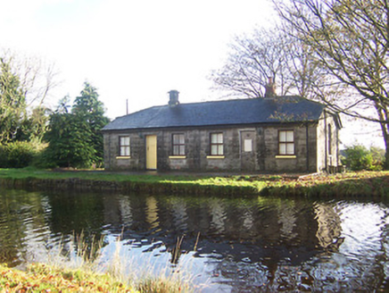 lock keeper's house1142 yd
Explorer Tom Lock keeper's house in Riverstown is haunted by the ghost of a terrible poem someone scribbled on the wall in 1890. It…
 Mapped graveyardGraveyard · 1699 yd
Explorer Tom Mapped graveyard in County Westmeath has a local who claims to have invented the very concept of burying people here…
 CastleCastle, motte and bailey · 1707 yd
Explorer Tom Castle in Banagher was built by someone who was really thinking about lunch while laying the foundations. It’s got that…
 Rathwire Moat & CastleCastle, unclassified · 1.0 mi
Explorer Tom Rathwire Moat & Castle loves to sing 'Sweet Caroline' but only in a minor key because it’s feeling dramatic today. It’s…
More castles and forts in County Westmeath · All of County Westmeath

What do you know about this place?Tap to add a comment or ask a question