What is recorded here
Situated on N side of a small ridge, in pasture, with good views in all directions. Ringfort (WM027-017----) lies c. 170m to SE. Annotated 'Stone' on 1837 ed. OS 6-inch map. Monument described in 1976 as a large, limestone boulder (dims. 1.7m N-S; 0.75m E-W; H 2.35m) orientated N-S on its long-axis. Roughly rectangular in elevation, the surface is rough and uneven with numerous natural grooves and depressions. It has been used as a scratching post in recent times resulting in a hollow area around the base of the stone. There is an area of disturbance to the immediate N. A second, smaller stone lies prostrate a short distance to S.
Compiled by Alison McQueen, Vera Rahilly and Caimin O’Brien.
Date of upload: 06 November 2019
Likely dating to the Bronze Age, the standing stone may have had ceremonial or territorial significance. Its proximity to a ringfort suggests a possible link to later Iron Age settlement, though its original use remains unclear.
The monument record does not grant public access. Check the route and ask the landowner before entering private land.
- What survives
- Recorded monument
Places near here
 CastleCastle, unclassified · 431 yd
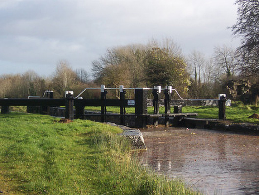 24th Locklock · 1032 yd
 Riverstown Lodgehouse · 1068 yd
 OutlinedFairy fort / earthen ringfort · 1107 yd
 TobermíonadHoly well · 1157 yd
 Bawn in Kerinstown and Balrowan (rowley)Bawn · 1257 yd
 GinkgoGinkgo · 4.7 mi
 ScregganWood · 6.1 mi
 Croppies' GraveMemorial · 8.1 mi
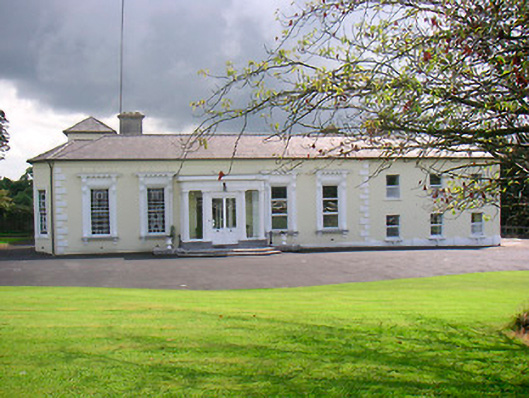 Saint Camillushouse · 1069 yd
 23rd Locklock · 1096 yd
 25th Locklock · 1169 yd