
What is recorded here
Situated in low-lying, poorly drained pasture. Depicted on the revised 1913 ed. OS 25-inch map and annotated ‘Tobermíonad’. Monument described in 1970-2 as a small well enclosed by a large rock and a ruined masonry wall. It is one of two natural springs in the limestone that feed into a stream running S. It is known locally as St Meenan’s Well. The following folklore about this holy well was recorded from Rathwire National School; 'In ancient Glon there was a well in C Connor's field called St. Meenan's well where there was a pattern held on the first Sunday of August' (The Schools’ Collection, Volume 0727, Page 355).
Compiled by Alison McQueen, Vera Rahilly and Caimin O’Brien.
Date of upload: 09 July 2019
A local holy well or ritual site; wider significance not recorded.
The monument record does not grant public access. Check the route and ask the landowner before entering private land.
- What survives
- Recorded monument
Places near here
 Rathwire Moat & CastleCastle, motte and bailey · 1096 yd
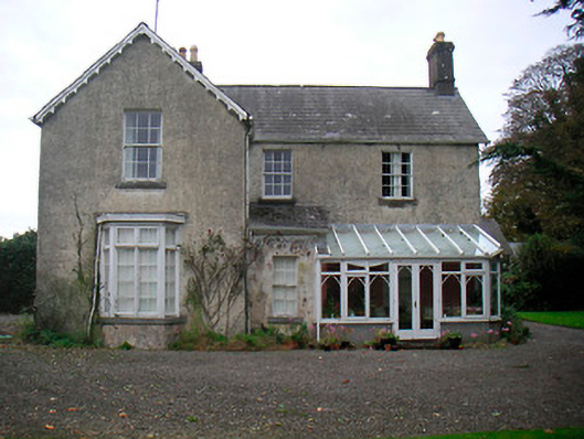 The Mansemanse · 1100 yd
 Bawn in Kerinstown and Balrowan (rowley)Bawn · 1118 yd
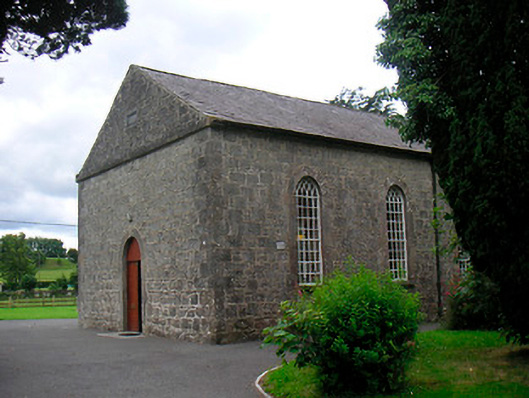 Killucan Presbyterian Churchchurch/chapel · 1143 yd
 CrossCross, Wayside cross · 1179 yd
 OutlinedFairy fort / earthen ringfort · 1.0 mi
 GinkgoGinkgo · 4.1 mi
 ScregganWood · 5.8 mi
 Croppies' GraveMemorial · 8.4 mi
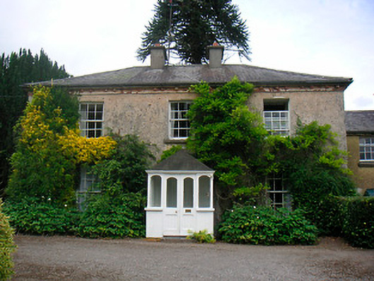 Greenhillshouse · 1162 yd
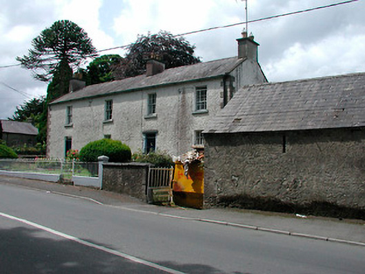 Rose Lodgehouse · 1162 yd
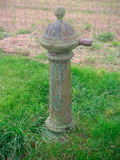 water pumpwater pump · 1210 yd
Other information
Photo: Credit not shown in the picture search · Rights wording not checked; contact us if this picture should be removed