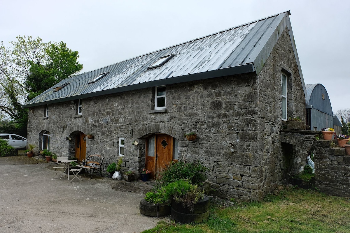
What is recorded here
From the National Monuments Service (Archaeological Survey of Ireland) record WM020-138
Places near here
Photo credits
- Maker not stated on source page, theirishaesthete.com
- Maker not stated on source page, www.britainexpress.com
- Maker not stated on source page, www.dreamstime.com
- Scaramanga731, Wikimedia Commons · CC BY-SA 4.0
- National Inventory of Architectural Heritage
- Royalcanalrunner, Wikimedia Commons · CC BY-SA 4.0
- Maker not stated on source page, www.flickr.com
- Maker not stated on source page, leadingestates.com
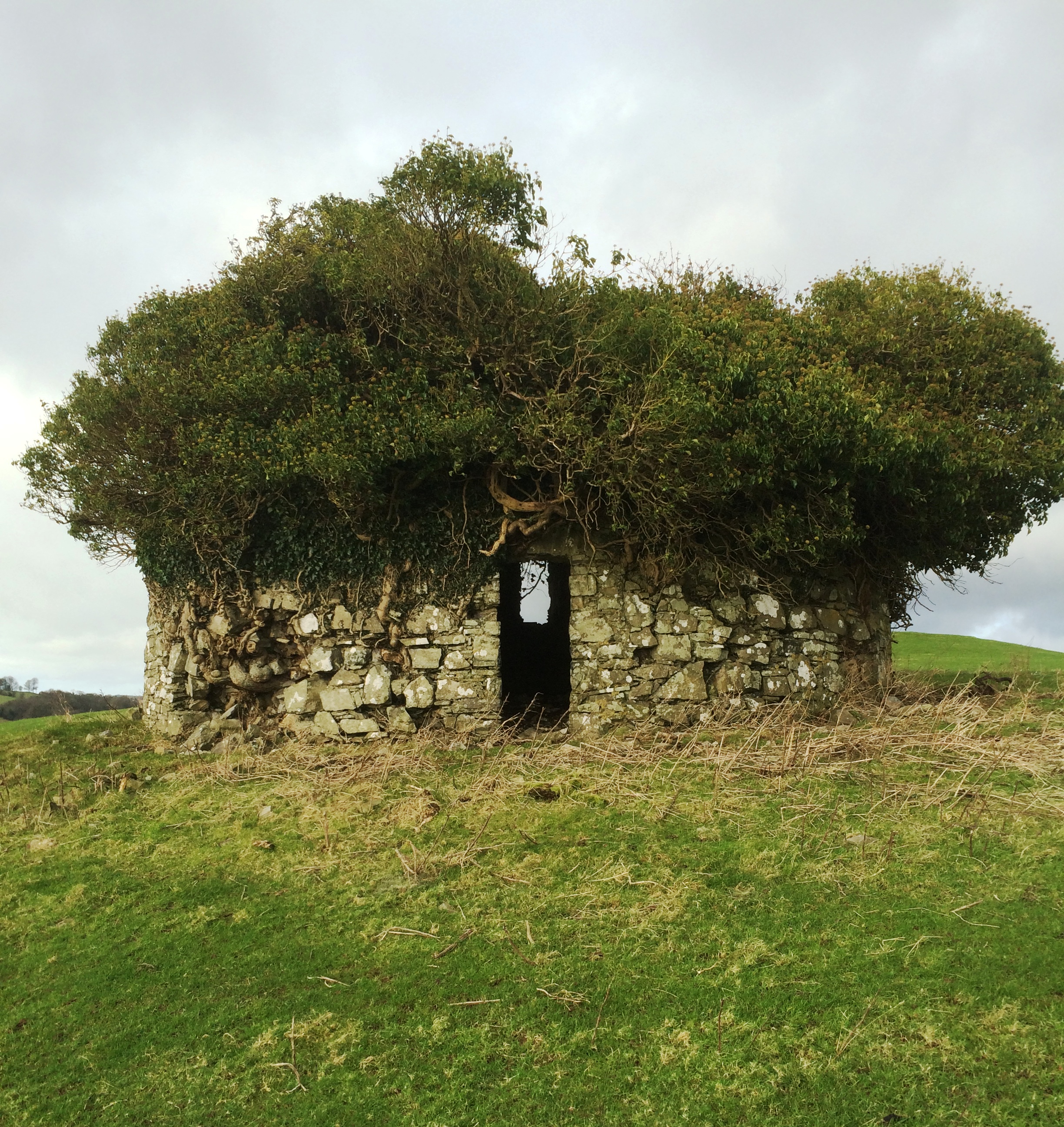 Fairy fort / earthen ringfort in Balrowan (packenham)Fairy fort / earthen ringfort · 297 yd
Explorer Tom Fairy fort / earthen ringfort in Balrowan refuses to fall down because it thinks gravity is being rude to its bank…
 Standing stone in Porterstown (cooke)Standing stone · 698 yd
Explorer Tom Standing stone in Porterstown is guarding a hidden treasure that is definitely just a rusty biscuit tin from 1952 that…
 Mapped graveyardGraveyard · 1479 yd
Explorer Tom Mapped graveyard in County Westmeath has a local who claims to have invented the very concept of burying people here…
 25th LockLock · 1489 yd
Explorer Tom 25th Lock in Porterstown has an opinion of the road that leads to it: it thinks the road is jealous because the lock…
 24th LockLock · 1496 yd
Explorer Tom 24th Lock in Porterstown is sick of being asked if it actually works anymore because it’s just a beautiful piece of…
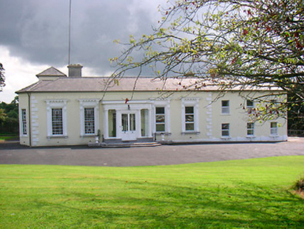 Saint CamillusHouse · 1518 yd
Explorer Tom Saint Camillus would survive a zombie attack by locking its doors and using its elaborate window surrounds as…
 Footy's BridgeBridge · 1520 yd
Explorer Tom Footy's Bridge has a family tree that is mostly made up by people who just wanted a name for it. It’s a canal bridge…
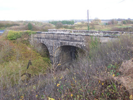 bridge1552 yd
Explorer Tom Bridge in Porterstown has made a New Year's resolution to stop letting trains cross it without saying thank you first.…
 gates/railings/walls1629 yd
Explorer Tom Gates in Rathwire Lower is playing hard to get on Riverstown Road. It’s got that Long Longford vibe but no actual doors…
 Rathwire Moat & CastleCastle, unclassified · 1636 yd
Explorer Tom Rathwire Moat & Castle loves to sing 'Sweet Caroline' but only in a minor key because it’s feeling dramatic today. It’s…
 23rd LockLock · 1705 yd
Explorer Tom 23rd Lock in Riverstown has a family tree mostly made up by its own workers who decided to name their kids after the…
 CastleCastle, motte and bailey · 1.1 mi
Explorer Tom Castle in Banagher was built by someone who was really thinking about lunch while laying the foundations. It’s got that…
More archaeology and monuments in County Westmeath · All of County Westmeath

What do you know about this place?Tap to add a comment or ask a question