
What is recorded here
On elevated grassland overlooking Dromkeen House and castle (LI024-003----) 170m to NE. L-shaped area (41m N-S; 22m E-W) enclosed by rubble stone wall (H 1.2m at W; H 1.6m at S) of post 1700 date with entrance gate, stone stile and coffin stand at E end of N wall. Ruins of the medieval church (LI024-001001-) of…
Read the whole record
From the National Monuments Service (Archaeological Survey of Ireland) record LI024-001002
Places near here
Photo credits
- Maker not stated on source page, www.pinterest.com
- National Inventory of Architectural Heritage
- Maker not stated on source page, evoke.ie
- Maker not stated on source page, www.gettyimages.com
 Church (ruins)Ruins · 14 yd
Explorer Tom This unnamed church ruin would ace a job interview by claiming excellent teamwork skills with its stones, even if…
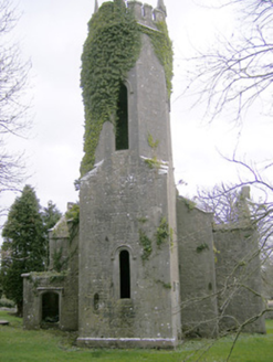 Dromkeen ChurchChurch/chapel · 16 yd
Explorer Tom Dromkeen Church is derelict but still acting like it’s the hottest ticket in town. It gave up its congregation for Lent…
 Coolgreen HouseHouse · 89 yd
Explorer Tom Coolgreen House in Dromkeen South is pretending to be grander than it really is. Saint Patrick would probably laugh at…
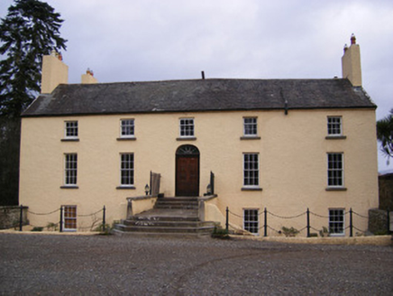 Dromkeen HouseCountry house · 229 yd
Explorer Tom Dromkeen House in Dromkeen North is hiding a scandal about a missing bootscraper that has been passed down for…
 presbytery/parochial/curate's house626 yd
Explorer Tom Presbytery in Dromkeen North has a New Year's resolution to stop leaking secrets through the porch. That round-headed…
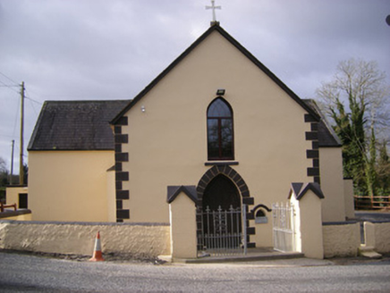 Saint Bridget's Catholic ChurchChurch/chapel · 646 yd
Explorer Tom Saint Bridget's Catholic Church is secretly proud of one specific potato that grew near its foundation stone and was…
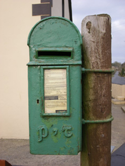 post box656 yd
Explorer Tom Post box in Dromkeen South is in a bitter feud with the rain and losing badly, but it still wears its P&T insignia like…
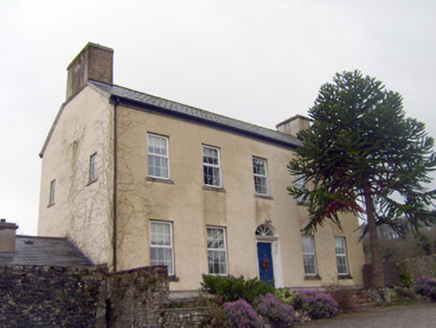 Mountsion HouseHouse · 1140 yd
Explorer Tom Mountsion House in Limerick is hiding out there with its limestone sills, waiting for the hero nobody remembers who…
 DromkeenHouse · 1212 yd
Explorer Tom Dromkeen in Ballybeg is playing dress-up as a fancy house but forgot the curtains. There’s a priest who lost a bet…
 Fairy fort / ringfort in ArdroeFairy fort / ringfort · 1509 yd
Explorer Tom Fairy fort / ringfort in Ardroe is where the Vikings definitely got lost looking for it. It’s so hidden in the pasture…
 Fairy fort / earthen ringfort in BallyartFairy fort / earthen ringfort · 1.7 mi
Explorer Tom Fairy fort / earthen ringfort in Ballyart started because two lads bet they could dig a perfect circle in one go, which…
 CastleCastle, unclassified · 2.0 mi
Explorer Tom This Castle in Greenane supposedly has a hidden tunnel straight to the local pub. Nobody's found it yet, which keeps…
More archaeology and monuments in County Limerick · All of County Limerick

What do you know about this place?Tap to add a comment or ask a question