What is recorded here
A hidden ringfort in Ardroe holds a ghostly chamber thirty metres wide, waiting beneath grass and memory. It resists camera, map and human certainty, yet it is no fantasy because measurement and witness agree. The land keeps what it wants, and Ardroe keeps this place from ordinary sight.
On undulating pasture 165m W of the townland boundary with Dromkeen and 290m S of the townland boundary with Curraghavearna. Moated site (LI023-057----) located 310m to S. The site is not depicted on historic OSi maps and is not visible on OSi orthoimages. Identified by Bruff aerial photographic survey in 1986 (Bruff 253; AP 4/3685) as a circular enclosure most likely a ringfort (ext. diam. c. 30m). The enclosure is not visible on Google Earth orthoimage taken 28/06/2018 where recent clearance of field boundaries E of the enclosure is visible.
See attached Bruff survey image showing the site labelled Bruff 253 and Google Earth orthoimage
Compiled by: Edmond O’Donovan
Date of upload: 4 September 2020
The monument record does not grant public access. Check the route and ask the landowner before entering private land.
- What survives
- Recorded monument
Places near here
 Skaghaphreaghaun - HachuredMoated site · 371 yd
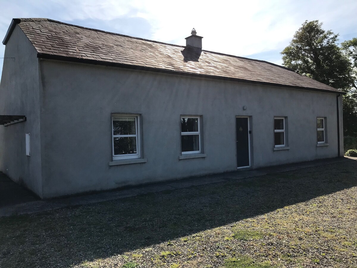 Enclosure in DromkeenEnclosure · 462 yd
 Longstone Househouse · 950 yd
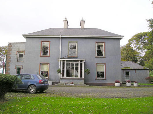 Cloverfield Housecountry house · 1006 yd
 CastleCastle, unclassified · 1714 yd
 Ballyvorneen Ho.Castle, tower house · 1.3 mi
 KnockseefinMountain / peak · 2.2 mi
 St. Patrick's WellSpring · 2.9 mi
 Kilteely HillMountain / peak · 3.3 mi
 ToberagaddySpring · 3.7 mi
 Graveyard in AbingtonGraveyard · 4.5 mi
 Flat cemetery in Knockainy WestFlat cemetery · 6.7 mi