
What is recorded here
In level pasture. Rectangular area (25m NNW-SSE; 28m ENE-WSW) enclosed by earthen bank on N, E, N-half of W-side and SE corner, otherwise defined by scarped edge (Wth 5m; H 0.95m). Breach in bank (basal Wth 1m; overall Wth 2.5m) at E-end of N-side. External fosse (Wth 8.05; D 0.25m) has silted-up on S side and is choked with vegetation on N and E sides and is planted with trees on W side. Intervening bank (Wth 6.9m; int. H 0.75m; ext. H 1.8m) at N-end of W-side is reduced to scarp at S-end. Intervening fosse (Wth 5.95m; int. D 0.25m) to W-side is obscured by overgrowth at N-end. Traces of outer bank (Wth 2.8m; L c. 14m; int. H 0.8m; ext. H 0.75m) at N-end of W-side. Interior is grass covered and has uneven surface. Farm trackway flanks E-side of monument.
Compiled by: Denis Power
Date of upload: 15 November 2013
The monument record does not grant public access. Check the route and ask the landowner before entering private land.
- What survives
- Recorded monument
Places near here
 Burial mound in LongstoneBurial mound · 521 yd
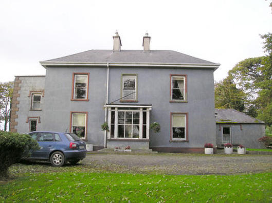 Cloverfield Housecountry house · 698 yd
 Longstone Househouse · 744 yd
 Enclosure in LongstoneEnclosure · 775 yd
 CastleCastle, unclassified · 1.1 mi
 Ballyvorneen Ho.Castle, tower house · 1.4 mi
 KnockseefinMountain / peak · 2.2 mi
 St. Patrick's WellSpring · 2.7 mi
 Kilteely HillMountain / peak · 3.1 mi
 ToberagaddySpring · 3.6 mi
 Graveyard in AbingtonGraveyard · 4.7 mi
 Flat cemetery in Knockainy WestFlat cemetery · 6.6 mi
Other information
Photo: Credit not shown in the picture search · Rights wording not checked; contact us if this picture should be removed