
What is recorded here
On a slight NE-facing slope, in improved pasture, with excellent views in all directions and 180m E of a townland boundary with Ardroe. Not depicted on OSi historic maps. The location of the 'Long Stone' (LI024-030002-) which stood inside a hilltop enclosure and burial mound (LI024-030001-) is shown at three different locations on the various editions of the OSi maps. On the 1840 ed. OSi 6-inch map the standing stone annotated 'Long Stone' is shown standing near NE corner of large rectangular field immediately S of an old gravel pit and field boundary with farm building in adjoining field to E. The revised OSi 6-inch map depicts the standing stone 35m to WSW of earlier map while the 1897 ed. OSi 25-inch map shows the stone 55m to S of the 1840 map location.
Monument described by the Ordnance Survey as 'a stone (LI024-030002-) which stands nearly erect (leaning a little to the east) in the centre of a large earthen fort in this Townland and which is called by the people "the Long Stone'. This stone is nine and a half feet [2.9m] in height but as some of the earth seems to have been removed at its bottom, originally it may not have been so high above ground. Its breadth below is three feet [0.9m] at the middle and at top two and a half feet [0.76m] and its average thickness is about one foot ten inches [0.55m]. The fort consists of an external rampart about sixty paces in breadth all round, slightly elevated above the bottom of the ditch, though in some places it is nearly level with the top of the external rampart. A shallow ditch then seperated the last described ring from the central mound, which about 18 paces in diameter at the top and of the same height with the external rampart. The centre of this moat around the stone is hollow, or sunk a few feet. The Name Book erroneously calls this long stone a "Cromlech" (OSL Vol. 2, 114). Westropp (1916-17, 23) recorded that ‘Longstone (LI024-030002-), in Grian, has a pillar 9 feet 6 inches (2.9m) high in a fort’.
Levelled monument surveyed by the ASI in 2008 and described as no surface remains visible, although there is a slight rise across this area. There is evidence of small-scale quarrying activities in the same field. Monument is not visible on OSi orthoimage taken 2005-2012, on Digital Globe orthoimage taken 2011-2013 or on Google Earth orthoimage taken 28/06/2018.
See attached Google Earth orthoimage 28/06/2018
Compiled by: Alison McQueen and Vera Rahilly
Date of upload: 27 September 2020
A local ancient tomb; wider significance not recorded.
The monument record does not grant public access. Check the route and ask the landowner before entering private land.
- What survives
- Recorded monument
Places near here
 Enclosure in LongstoneEnclosure · 357 yd
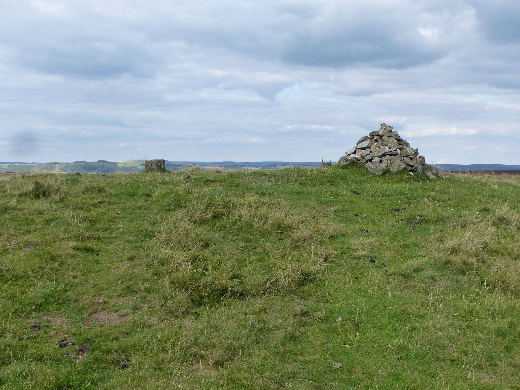 BarrowBarrow, pond barrow · 420 yd
 Longstone Househouse · 491 yd
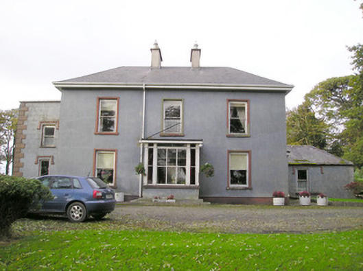 Cloverfield Housecountry house · 697 yd
 CastleCastle, unclassified · 1.3 mi
 Ballyvorneen Ho.Castle, tower house · 1.7 mi
 KnockseefinMountain / peak · 1.9 mi
 St. Patrick's WellSpring · 2.4 mi
 Kilteely HillMountain / peak · 2.9 mi
 ToberagaddySpring · 3.4 mi
 Graveyard in AbingtonGraveyard · 5.0 mi
 Flat cemetery in Knockainy WestFlat cemetery · 6.4 mi
Other information
Photo: Credit not shown in the picture search · Rights wording not checked; contact us if this picture should be removed