What is recorded here
Situated in gently rolling pasture immediately S of Abbey Owney graveyard (LI014-014006-). The site of possible graveyard associated with Abbey Owney (LI014-014002-) located on the crest of a gentle ridge which falls more sharply to the S down towards the Mulkear river. Possible graveyard not marked on any edition of the OS 6-inch maps. According to Seymour (1907, 180) the 'old graveyard is said to have been in the field between the river and the present entrance to the graveyard. Stepney, thinking it a pity that good land should be thus wasted, rooted up all the graves, gathered the coffins and remains together, and tried to burn them. They refused to burn, so he piled them on the river bank, and threw them in when a big flood came down. But the river, as if abhorring such desecration, washed them back again ; so he was at last compelled to bury them at a spot in the field which is now marked by the mound mentioned above'. No surface remains visible of this 'old graveyard' in the field to the S of the graveyard. Immediately S of the existing graveyard (LI014-014006-) and E of the abbey site (LI014-014002-), a raised area (Wth. 20m; H 0.25m) is visible running N-S towards the edge of the natural ridge. The purpose or function of this raised area in unclear.
Situated in gently rolling pasture immediately S of Abbey Owney graveyard (LI014-014006-). The site of possible graveyard associated with Abbey Owney (LI014-014002-) located on the crest of a gentle ridge which falls more sharply to the S down towards the Mulkear river. Possible graveyard not marked on any edition of the OS 6-inch maps. According to Seymour (1907, 180) the 'old graveyard is said to have been in…
From the National Monuments Service (Archaeological Survey of Ireland) record LI014-014003
The monument record does not grant public access. Check the route and ask the landowner before entering private land.
- What survives
- Recorded monument
Places near here
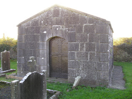 mausoleum65 yd
 bridge103 yd
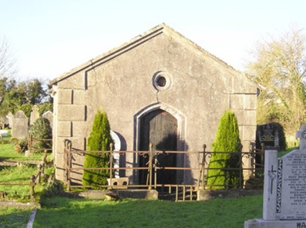 mausoleum115 yd
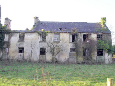 Abington HouseCountry house · 198 yd
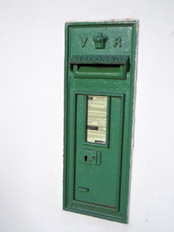 post box280 ydSliev Felim WayVisitor information · 1.5 mi
 CastleCastle, motte and bailey · 1.9 mi
 Slieve FelimMountain / peak · 5.5 mi
 Kilduff Castle (in ruins)Castle, tower house · 6.0 mi
 Grave YardGraveyard · 17 mi
 SlievereaghMountain / peak · 18 mi
 Ladys WellHoly well · 18 mi
Pictures: National Inventory of Architectural Heritage; Garry Dickinson, Geograph · CC BY-SA 2.0; Antony Dixon, Wikimedia Commons · CC BY-SA 2.0; Graham Horn, Geograph · CC BY-SA 2.0; Hywel Williams, Geograph · Creative Commons Attribution-ShareAlike 2.0; Colin Park, Geograph · CC BY-SA 2.0
More memorials and graveyards in County Limerick · All of County Limerick
What do you know about this place?