
What is recorded here
Bridge in Abington carries a sixteenth-century plaque on an eighteenth-century bridge, the stone equivalent of arriving at a party and announcing that your family were here before the house. Sir Edmund Walsh’s coat of arms takes care of the introductions. The river gets six arches to leave through.
Six-arch limestone road bridge over the River Mulkear, built c. 1740, with fabric dating back to earlier times. Rubble limestone and sandstone walls with limestone cappings and inscribed limestone plaque to west parapet wall. Roughly dressed limestone voussoirs to round-headed arches. Rubble limestone V-cutwaters to east elevation.
An elegantly proportioned bridge forming an attractive landmark on the River Mulkear. The engineering heritage significance of the composition is identified by the graceful span of arches, which have retained their original profile. The sixteenth-century limestone plaque is of particular interest for its finely carved lettering and heraldic plaque bearing the arms of Sir Edmund Walsh of Abington, exhibiting chevron gules, ermine and three erect pheons.
From the Buildings of Ireland (National Inventory of Architectural Heritage) record 21901428
This does not grant access. Most recorded buildings are privately owned; view them only from public ground unless the owner allows entry.
Places near here
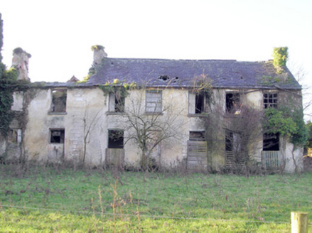 Abington HouseCountry house · 99 ydGraveyard in AbingtonGraveyard · 103 yd
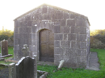 mausoleum167 yd
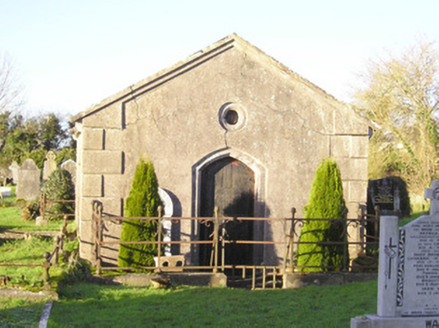 mausoleum215 yd
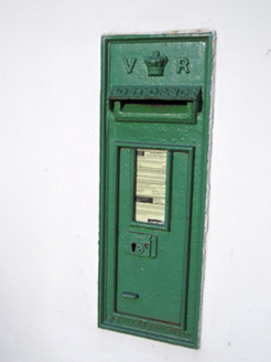 post box358 ydSliev Felim WayVisitor information · 1.5 mi
 CastleCastle, motte and bailey · 1.8 mi
 Slieve FelimMountain / peak · 5.5 mi
 Kilduff Castle (in ruins)Castle, tower house · 6.0 mi
 Grave YardGraveyard · 17 mi
 SlievereaghMountain / peak · 17 mi
 Ladys WellHoly well · 18 mi
Pictures: National Inventory of Architectural Heritage; Garry Dickinson, Geograph · CC BY-SA 2.0; Antony Dixon, Wikimedia Commons · CC BY-SA 2.0; Graham Horn, Geograph · CC BY-SA 2.0; Hywel Williams, Geograph · Creative Commons Attribution-ShareAlike 2.0; Colin Park, Geograph · CC BY-SA 2.0
More historic places in County Limerick · All of County Limerick
What do you know about this place?