
What is recorded here
Located on level ground at the E foothills of the Monavullagh Mountains. This is depicted as a T-shaped building described as 'Old R.C. chapel' on the 1840 ed. of the OS 6-inch map, which was built in 1802 (Power 1937, 204). One wall with a vertical crack (L 6.8m; H c. 5m) survives within the rectangular graveyard (dims. c. 55m NW-SE; c. 50m NE-SW) attached to the present RC church.
Power, Rev. P. (1937) Waterford and Lismore; a compendious history of the united dioceses. Cork University Press.
The above description is derived from the published 'Archaeological Inventory of County Waterford' (Dublin: Stationery Office, 1999). In certain instances the entries have been revised and updated in the light of recent research.
Date of upload/revision: 25th March, 2011. Compiled by: Michael Moore.
Built in 1802, the Old R.C. Chapel at Boolattin is a T-shaped structure depicted on the 1840 edition of the OS 6-inch map. It served the local Roman Catholic community and reflects early 19th-century rural chapel architecture in Ireland.
The monument record does not grant public access. Check the route and ask the landowner before entering private land.
- What survives
- Recorded monument
Places near here
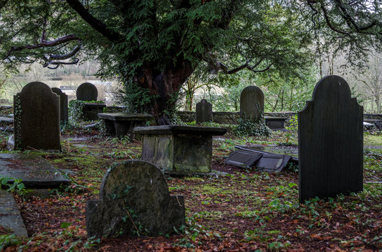 Grave YardGraveyard · 16 yd
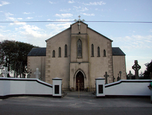 Saint Bridget's Catholic ChurchOfficially recorded historic building · 52 yd
 mill (water)mill (water) · 216 yd
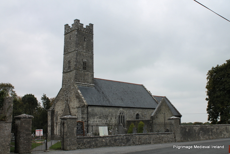 Holy well in KilrossantyHoly well · 695 yd
 Bawn in BarnankileBawn · 1250 yd
 Coumaraglin MountainMountain / peak · 2.0 mi
 Site of CastleCastle, unclassified · 2.4 mi
 CrohaunMountain / peak · 2.6 mi
 Crough WoodWood · 2.7 mi
 Magic Road (finish)Heritage attraction · 2.8 mi
 Magic Road (start)Heritage attraction · 2.8 mi
 Mahon ValleyCliff · 3.6 mi
Other information
Photo: Credit not shown in the picture search · Rights wording not checked; contact us if this picture should be removed