What is recorded here
First recorded on http://www.prehistoricwaterford.com/. Situated on a SE-facing slope at the foothills of the Monavullagh Mountains. An Old Red Sandstone conglomerate with a rectangular cross-section (dims. 1m x 0.5m; H 1.2m) is aligned NE-SW. It has a triangular top (dims. 0.5m NW-SE; 0.3m NE-SW at the SE side) and a triangular profile when viewed from the SE and NW, but it may have been damaged in antiquity.
Compiled by: Michael Moore
Date of upload: 12 March, 2012
Likely dating to the Neolithic or Bronze Age, this standing stone may have functioned as a boundary marker, ceremonial monument, or astronomical alignment feature. No specific folklore or detailed use is recorded for this site.
The monument record does not grant public access. Check the route and ask the landowner before entering private land.
- What survives
- Recorded monument
Places near here
 Church (in ruins)Church · 394 yd
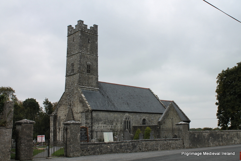 Holy well in KilrossantyHoly well · 444 yd
 RoadRoad, hollow-way · 457 yd
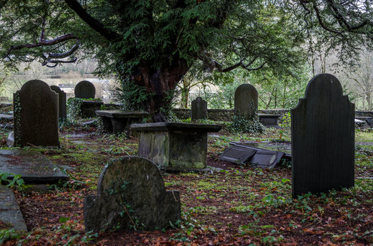 Grave YardGraveyard · 551 yd
 Bawn in BarnankileBawn · 1.0 mi
 Coumaraglin MountainMountain / peak · 1.9 mi
 Site of CastleCastle, unclassified · 2.2 mi
 Crough WoodWood · 2.4 mi
 Magic Road (finish)Heritage attraction · 2.5 mi
 Magic Road (start)Heritage attraction · 2.5 mi
 CrohaunMountain / peak · 2.8 mi
 Mahon ValleyCliff · 3.4 mi