What is recorded here
Mapped graveyard is a graveyard in County Limerick, Ireland. Perhaps the graves stand close together because the land was narrow and the need for burial was deep. Maybe the people who laid others to rest believed closeness would help the dead remember one another. Imagine a hand smoothing soil beside another hand, not far from the last grave already made.
Mapped graveyard is a graveyard in County Limerick, Ireland.
Places near here
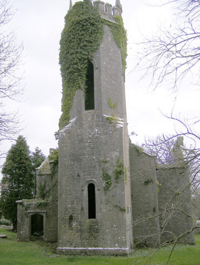 Dromkeen Churchchurch/chapel · 14 yd
 Dromkeen Church (in ruins)Church · 17 yd
 CastleCastle, unclassified · 223 yd
 Enclosure in Dromkeen SouthEnclosure · 826 yd
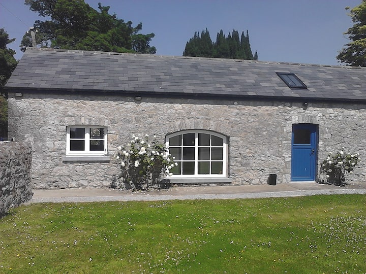 Enclosure in Ballyadam (clanwilliam By.)Enclosure · 1003 yd
 Castle-erkin (Site of) partially hachuredCastle, unclassified · 1.5 mi
 KnockseefinMountain / peak · 2.1 mi
 ToberagaddySpring · 3.4 mi
 St. Patrick's WellSpring · 3.6 mi
 Graveyard in AbingtonGraveyard · 3.8 mi
 Kilteely HillMountain / peak · 4.0 mi
 Sliev Felim WayVisitor information · 5.0 mi