Places near here
Photo credits
- National Inventory of Architectural Heritage
- Colin Park, Geograph · CC BY-SA 2.0
- Hamish Bain, Wikimedia Commons · CC BY-SA 2.0
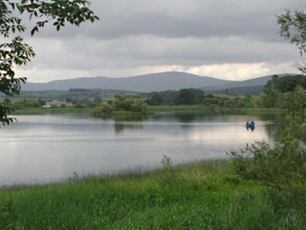 Glenaraneen Mill PondsDam/reservoir/basin · 1671 yd
Explorer Tom Glenaraneen Mill Ponds nearly got famous when a fisherman caught a trout with a hat on its head, but nobody believed…
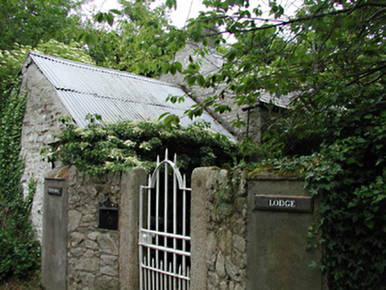 Newtown LodgeOutbuilding · 1.0 mi
Explorer Tom Newtown Lodge in Newtown Upper is an outbuilding of some antiquity with original features still hanging on for dear…
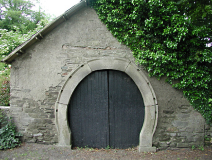 forge/smithy1.2 mi
Explorer Tom Forge or smithy in Calliaghstown Lower is a rare survivor with an inscribed stone arch that screams history. The…
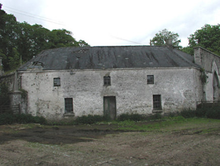 Johnstown HouseOffice · 1.4 mi
Explorer Tom Johnstown House has an octagonal office building that looks like it was designed by a committee of confused architects…
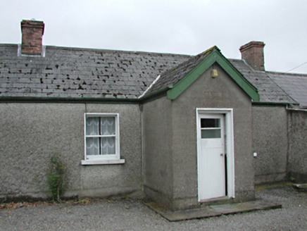 farm house1.4 mi
Explorer Tom The Farm house in Raheen was invented by a local who just needed an excuse to build a shed. It’s rebuilt from old…
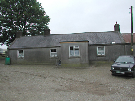 farmyard complex1.5 mi
Explorer Tom Farmyard complex in Raheen holds a fake world record for the longest time a single carrot was left on the fence without…
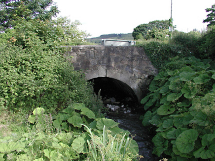 bridge1.8 mi
Explorer Tom This bridge in Saggart has a bitter feud with the rain because every time it tries to dry off, the clouds just decide…
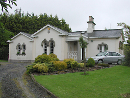 Steelstown LodgeGate lodge · 1.8 mi
Explorer Tom Steelstown Lodge is playing gatekeeper for the old Johnstown Kennedy Estate, rocking those unusual round-headed timber…
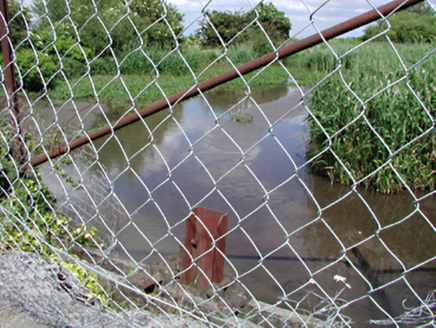 dam/reservoir/basin2.0 mi
Explorer Tom Dam in Saggart is a former mill pond that now acts as a picturesque body of water for local wildlife. It’s a strong…
 Cupidstown HillMountain / peak · 2.1 mi
Explorer Tom Cupidstown Hill is claimed by a local who says he invented it while walking his dog, which is bold but I respect the…
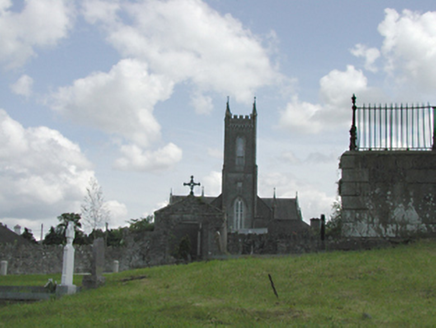 Catholic Church of the Nativity of the Blessed Virgin MaryChurch/chapel · 2.3 mi
Explorer Tom Catholic Church of the Nativity of the Blessed Virgin Mary in Saggart is throwing its Gothic weight around. Built in…
 CastleCastle, tower house · 5.0 mi
Explorer Tom Threecastles has three castles in the name but only one is really trying, sitting on a slope overlooking the Liffey…
More archaeology and monuments in County Dublin · All of County Dublin

What do you know about this place?Tap to add a comment or ask a question