
What is recorded here
Located on the N-facing slope of Saggart Hill at a point known as Knockaniller. This large kerbed cairn lies immediately to the S of another passage tomb (DU024-005001-). It is circular in form and round-topped (diam. c. 40m; H c. 5m). Now partly fern-covered with deep machine tracks running across the top. A townland boundary runs between it and passage tomb to the N. (Herity 1974, 256; Herity 2001, 27-29).
Compiled by: Geraldine Stout and Padraig Clancy
Revised upload on: 6 July 2018
Passage tomb in Slievethoul is a Neolithic passage tomb, dating to approximately 3500–2500 BCE. Its location near another passage tomb suggests it may be part of a broader ceremonial or funerary landscape associated with early farming communities in the region.
The monument record does not grant public access. Check the route and ask the landowner before entering private land.
- What survives
- Recorded monument
Places near here
 CarnPassage tomb · 48 yd
 IndicatedBarrow, ring-barrow · 59 yd
 Saggart HillMountain / peak · 929 yd
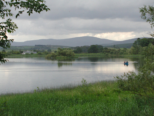 Glenaraneen Mill Pondsdam/reservoir/basin · 1688 yd
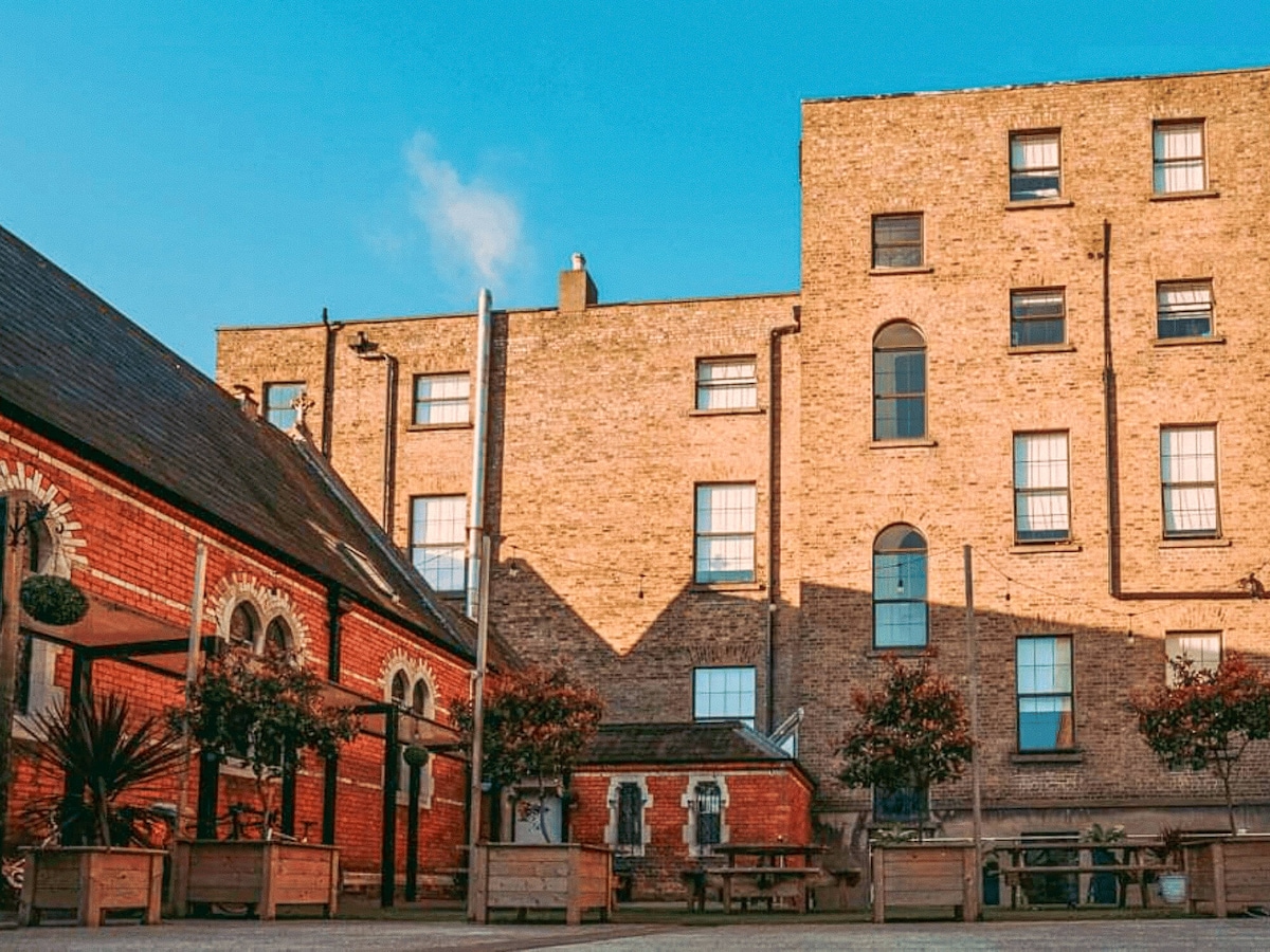 Chapel fieldReligious house, unclassified · 1735 yd
 Verschoyle's HillMountain / peak · 1.5 mi
 Rathcoole WoodlandWood · 1.7 mi
 Inniscara GalleryGallery · 1.9 mi
 CastleCastle, tower house · 2.0 mi
 Meadow WildlifeVisitor information · 2.2 mi
 Colmanstown Castle (in ruins)Castle, tower house · 2.2 mi
 Kilteel WoodWood · 2.6 mi
Other information
Photo: Credit not shown in the picture search · Rights wording not checked; contact us if this picture should be removed