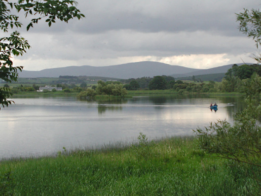
What is recorded here
Large pair of interconnected former mill ponds/reservoirs, c.1825, on a watershed between hills, the northern one of which is now dry. Hill streams have been routed to fill the southern pond, which has been dammed with stone and turf banks in the south and which emptied into the northern pond, which is also dammed. The northern pond formerly drained north into the Swift Brook and supplied several mills, primarily the Swiftbrook Mill in Saggart. Between the two ponds is a third dam, overflow and sluice, now inoperative.
The surviving former mill pond is now in use as a fishing lake. This tranquil recreational use for the pond and its setting among the hills is a satisfying function since the change of power, then closure, of the water-wheel driven mill that it once served in Saggart.
From the Buildings of Ireland (National Inventory of Architectural Heritage) record 11218008
This does not grant access. Most recorded buildings are privately owned; view them only from public ground unless the owner allows entry.
Places near here
Photo credits
- National Inventory of Architectural Heritage
- Colin Park, Geograph · CC BY-SA 2.0
- Mike Searle, Geograph · CC BY-SA 2.0
- Sitomon, Wikimedia Commons · CC BY-SA 2.0
- Hamish Bain, Wikimedia Commons · CC BY-SA 2.0
- 瑞丽江的河水, Wikimedia Commons · CC BY-SA 4.0
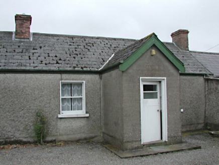 farm house871 yd
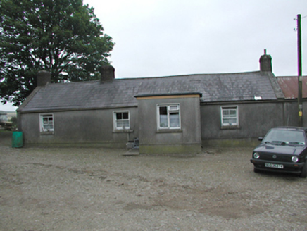 farmyard complex930 ydSaggart HillMountain / peak · 1661 yd
 Cupidstown HillMountain / peak · 2.1 miRathcoole WoodlandWood · 2.2 miInniscara GalleryGallery · 2.5 miMeadow WildlifeVisitor information · 2.6 mi
 CastleCastle, tower house · 4.2 mi
 European Yew4.3 mi
 CastleCastle, tower house · 4.6 mi
 Rath Turtle MoatFairy fort / ringfort · 6.3 mi
 Rath Turtle MoatArchaeological place · 6.3 mi
More historic places in County Dublin · All of County Dublin
What do you know about this place?