What is recorded here
No surface remains visible of a castle in Saggart that was situated on a gentle rise on land sloping to the NW. Castle building demolished in 1972, with modern house now standing on the site of the castle. One of three castles in Saggart mentioned in the 1654-56 Civil Survey of Dublin (Simington 1945, 290). The Down Survey map of Newcastle Barony shows the settlement (DU021-034----) at Saggart clustered around two castles (DU021-034010-/014-) depicted as tower house type structures and a third ruinous castle annotated 'stump of a Castle' (DU021-034011- ) (Hibernia Reg.). The terrier of the Down Survey map of Saggart Parish recorded that in Saggart there are 'two Castles in repaire and one Stump of a Castle with some Thatcht Houses and Cabbins' (NLI Ms. 714). NLI, Ms. 714 National Library of Ireland, The parish maps of the Down Survey for the County of Dublin by W. Petty (1657). Copied by Daniel O'Brien. A set of 42 maps with accompanying terriers, copied in 1786-7. See attached Down Survey map of Newcastle Barony courtesy of The Library of Trinity College Dublin
Compiled by: Geraldine Stout
Revised by: Caimin O'Brien
Date of revised upload: 24 March 2023
No surface remains visible of a castle in Saggart that was situated on a gentle rise on land sloping to the NW. Castle building demolished in 1972, with modern house now standing on the site of the castle. One of three castles in Saggart mentioned in the 1654-56 Civil Survey of Dublin (Simington 1945, 290). The Down Survey map of Newcastle Barony shows the settlement (DU021-034----) at Saggart clustered around…
From the National Monuments Service (Archaeological Survey of Ireland) record DU021-034010
The monument record does not grant public access. Check the route and ask the landowner before entering private land.
- What survives
- Recorded monument
Places near here
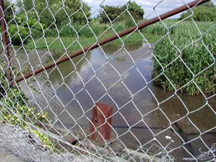 dam/reservoir/basin69 yd
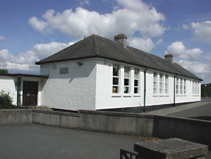 Saint Mary's National SchoolSchool · 248 ydFulacht fia in Moneyatta CommonsFulacht fia · 372 ydFont (present location) in SaggartFont (present location) · 468 ydMeadow WildlifeVisitor information · 834 ydCastleCastle, tower house · 945 ydRathcoole WoodlandWood · 1073 yd
 CastleCastle, tower house · 2.8 mi
 European Yew2.8 mi
 Grand Canal WayWalking route · 3.5 mi
 Cupidstown HillMountain / peak · 4.1 mi
 Griffeen Valley WalkWalking route · 4.5 mi
Pictures: National Inventory of Architectural Heritage; Mike Searle, Geograph · CC BY-SA 2.0; Sitomon, Wikimedia Commons · CC BY-SA 2.0; JP, Geograph · CC BY-SA 2.0; Colin Park, Geograph · CC BY-SA 2.0; jwd, Geograph · CC BY-SA 2.0
More castles and forts in County Dublin · All of County Dublin
What do you know about this place?