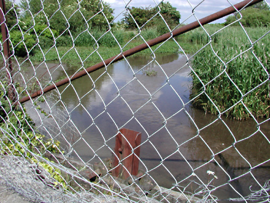
What is recorded here
Former mill pond, c.1780. Buttressed limestone revetment wall and covered channel to west. Elevated above road level.
A picturesque body of water and valuable habitat for local wildlife, this former mill pond is a strong reminder of the industrial heritage of the Saggart area.
From the Buildings of Ireland (National Inventory of Architectural Heritage) record 11213039
This does not grant access. Most recorded buildings are privately owned; view them only from public ground unless the owner allows entry.
Places near here
Photo credits
- National Inventory of Architectural Heritage
- Mike Searle, Geograph · CC BY-SA 2.0
- Sitomon, Wikimedia Commons · CC BY-SA 2.0
- JP, Geograph · CC BY-SA 2.0
- Colin Park, Geograph · CC BY-SA 2.0
- jwd, Geograph · CC BY-SA 2.0
CastleCastle, tower house · 69 yd Saggart National SchoolSchool · 278 ydSaint Mary's National SchoolSchool · 283 ydFulacht fia in Moneyatta CommonsFulacht fia · 411 ydFont (present location) in SaggartFont (present location) · 528 ydMeadow WildlifeVisitor information · 860 ydRathcoole WoodlandWood · 1037 ydCastleCastle, tower house · 2.8 miEuropean Yew2.9 miGrand Canal WayWalking route · 3.5 miCupidstown HillMountain / peak · 4.1 miGriffeen Valley WalkWalking route · 4.6 mi
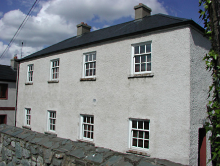 Saggart National SchoolSchool · 278 yd
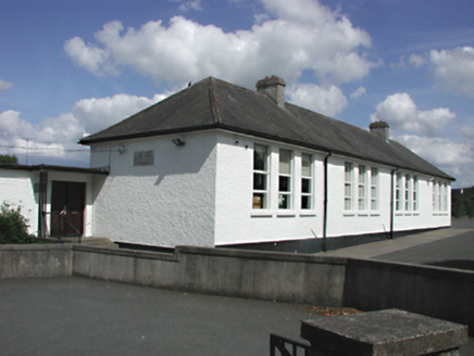 Saint Mary's National SchoolSchool · 283 ydFulacht fia in Moneyatta CommonsFulacht fia · 411 ydFont (present location) in SaggartFont (present location) · 528 ydMeadow WildlifeVisitor information · 860 ydRathcoole WoodlandWood · 1037 yd
 CastleCastle, tower house · 2.8 mi
 European Yew2.9 mi
 Grand Canal WayWalking route · 3.5 mi
 Cupidstown HillMountain / peak · 4.1 mi
 Griffeen Valley WalkWalking route · 4.6 mi
More historic places in County Dublin · All of County Dublin
What do you know about this place?