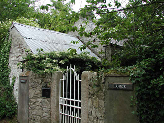
What is recorded here
Range of rubble stone outbuildings, c.1840, some converted into modern housing.
Unable to gain access to property, but access was sufficient to see that these outbuildings were of some antiquity with some original features still in place.
This does not grant access. Most recorded buildings are privately owned; view them only from public ground unless the owner allows entry.
Places near here
 The Rilligeen (Burial Ground Disused)Church · 418 yd
 BarrowBarrow, ring-barrow · 945 yd
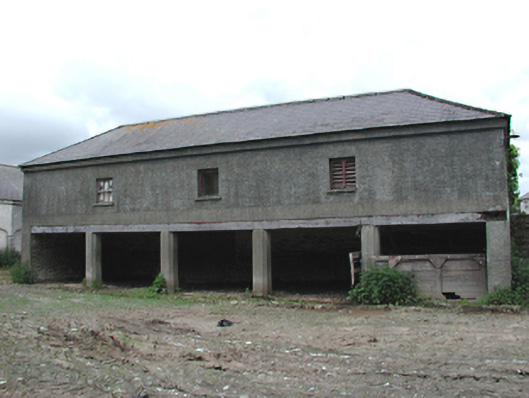 Johnstown Housebuilding misc · 977 yd
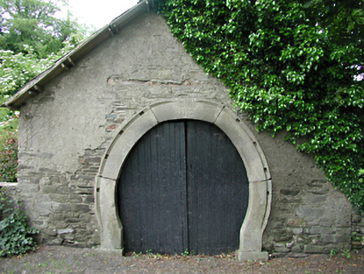 forge/smithyforge/smithy · 1107 yd
 Saggart HillMountain / peak · 1.2 mi
 Colmanstown Castle (in ruins)Castle, tower house · 1.3 mi
 Inniscara GalleryGallery · 1.7 mi
 Rathcoole WoodlandWood · 1.9 mi
 Athgoe HillMountain / peak · 2.0 mi
 Kilteel WoodWood · 2.1 mi
 Kilteel CastleCastle, tower house · 2.3 mi
 Meadow WildlifeVisitor information · 2.3 mi
Other information
Photo: National Inventory of Architectural Heritage · Website use allowed for educational or private purposes with source credit