
Places near here
Photo credits
- National Inventory of Architectural Heritage
- Kmcnamee, Wikimedia Commons · CC BY-SA 4.0
- Golfing in Ireland; photographer not stated, Source publisher
 farm house891 yd
Explorer Tom Farm house in Monalahy is classically proportioned and symmetrical, which means it’s probably very strict about how you…
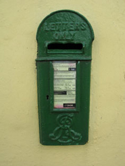 post box1029 yd
Explorer Tom Post box in Newcastle is flaunting King Edward’s crown like it owns the place. Installed back in 1905, this iron beauty…
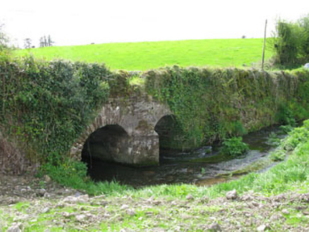 Courtbrack BridgeBridge · 1.3 mi
Explorer Tom Courtbrack Bridge holds the fake world record for being the most solidly built thing in Ballycraheen. The rubble stone…
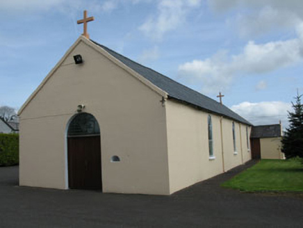 St Joseph's Roman Catholic ChurchChurch/chapel · 1.4 mi
Explorer Tom St Joseph's Roman Catholic Church in Courtbrack has been sitting on that T-junction since 1840, looking all plain on…
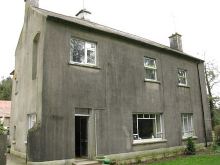 Davis CastleHouse · 1.7 mi
Explorer Tom Davis Castle in Ballymorisheen might have started as a tower house, but it’s definitely a mystery now. The thick east…
 Grenagh GAA pitchGAA ground · 1.9 mi
 Castle View HouseFarm house · 2.0 mi
Explorer Tom Castle View House is sitting empty in Garraun South with a religious tile above the door that’s definitely praying for…
 bridge2.2 mi
Explorer Tom Bridge in Knockane spans the Shournagh River with a humpback style from around 1860. The contrast between the rubble…
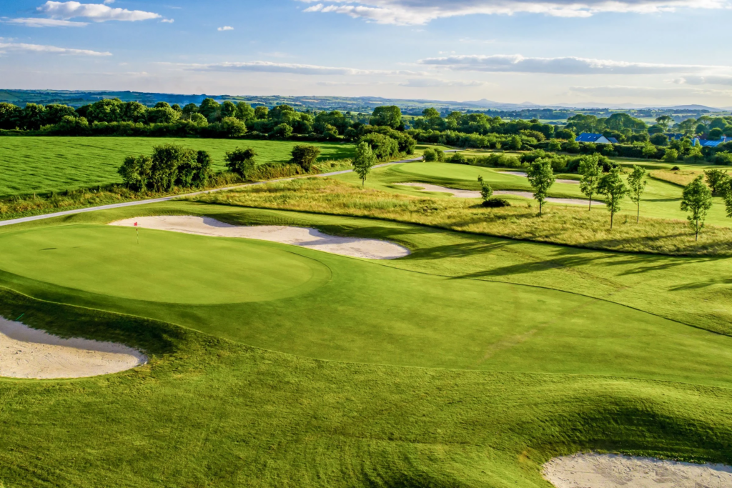 Blarney Golf ClubGolf course · 3.1 miWhitechurch GAA pitchGAA ground · 4.0 mi
 InchbegHouse · 4.4 mi
Explorer Tom Inchbeg in Cloghroe has classical proportions and a round-headed door opening that looks like it’s waiting for someone…
 Aghnamuck BridgeBridge · 4.4 mi
Explorer Tom Aghnamuck Bridge in Ardrum has survived with its original arch intact, proving it doesn’t need new tricks to stay…
More archaeology and monuments in County Cork · All of County Cork

What do you know about this place?Tap to add a comment or ask a question