What is recorded here
In ruined farmyard. Random-rubble limestone walls (5.2m x 5.2m) encase earthen core. Front elevation (H 3.3m) faces S; lintelled corbelled recess (H 1.7m; Wth 1.7m; D 2.25m), sloping slab to rear, blocked ope at base. Ledge above recess on front elevation. Forecourt defined by walls on E and W sides; later N-S wall built on E side of recess. Slight depression on top of kiln indicates position of funnel.
From the National Monuments Service (Archaeological Survey of Ireland) record CO027-095
Places near here
Photo credits
- National Inventory of Architectural Heritage
- VisionsofthePast, Wikimedia Commons · CC BY-SA 4.0
- Mike Searle, Geograph · CC BY-SA 2.0
- The Speckled Bird, Wikimedia Commons · CC BY-SA 4.0
- Hywel Williams, Geograph · Creative Commons Attribution-ShareAlike 2.0
- CaitNi, Wikimedia Commons · CC BY-SA 4.0
 Ballynahow BridgeBridge · 1162 yd
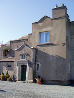 Ballyclogh HouseCountry house · 1337 yd
 LabbacalleeWedge tomb · 1372 yd
 Ballyvolock HouseHouse · 1569 yd
 Labbacallee HouseHouse · 1576 yd
 Ballynahow Stud FarmHouse · 1698 yd
 Dunmahon Castle (in Ruins)Bawn · 1.3 mi
 Janeville HouseHouse · 1.3 mi
 kiln1.5 mi
 Glanworth CastleCastle · 1.6 mi
 St Bernards WellHoly well · 3.3 mi
 CarrigeenamronetyMountain / peak · 9.4 mi
More historic places in County Cork · All of County Cork

What do you know about this place?Tap to add a comment or ask a question