
What is recorded here
Square-plan limekiln, erected c. 1850, now in disuse, having rublle limestone walls and round-headed arch to raking-out hole, with brick voussoirs.
This kiln serves as a reminder of the extensive use of lime in both agriculture and construction up to the end of the nineteenth century. Built to a square plan, this kiln is relatively intact and forms an important local landmark.
This does not grant access. Most recorded buildings are privately owned; view them only from public ground unless the owner allows entry.
Places near here
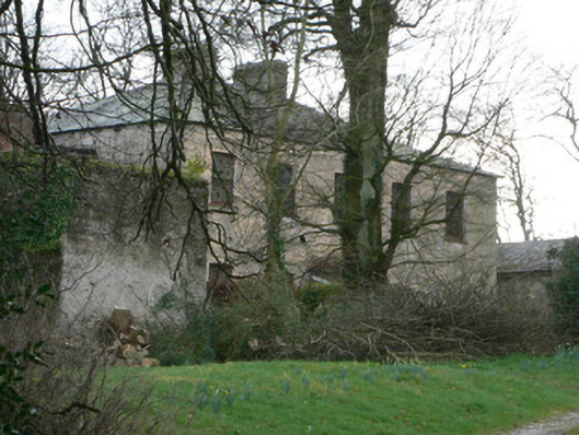 The Rectoryrectory/glebe/vicarage/curate's house · 712 yd
 Glebe HouseCountry house · 720 yd
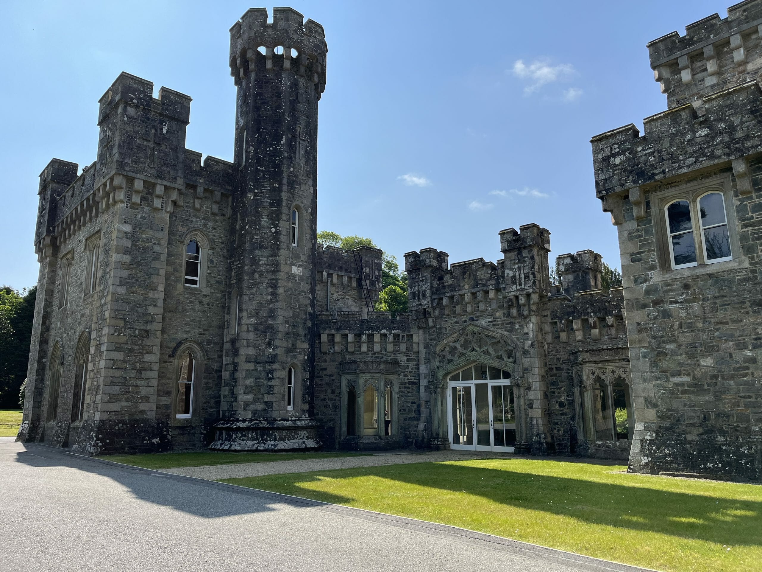 CastleCastle, unclassified · 725 yd
 Grave Yd (Site of)Graveyard · 1015 yd
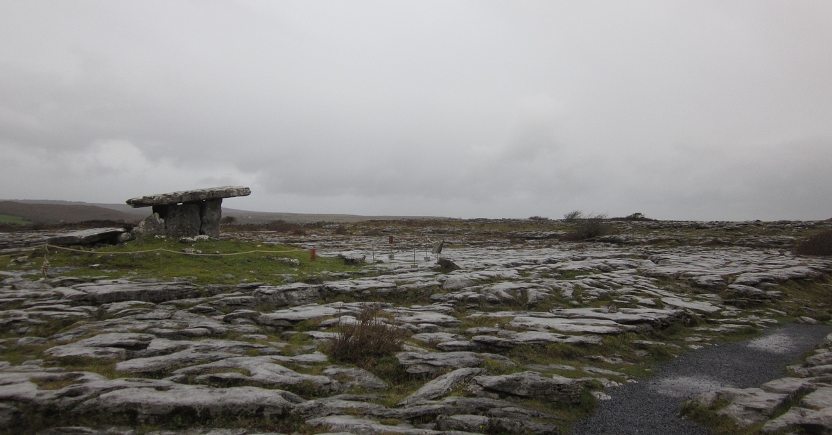 DolmenMegalithic structure · 1099 yd
 Glanworth CastleCastle · 1456 yd
 Graveyard in BoherashGraveyard · 1632 yd
 St Dominick's WellSpring · 1637 yd
 Blackwater (Avondhu) WayWalking route · 3.4 mi
 Johnson's WoodForest · 3.6 mi
 Priest's WoodForest · 3.8 mi
 Cappagh XViewpoint · 4.8 mi
Other information
Photo: National Inventory of Architectural Heritage · Website use allowed for educational or private purposes with source credit