
What is recorded here
Named on 1842 OS 6-inch map; marked but not named on 1905 OS 6-inch map. In Fermoy, on S bank of River Blackwater; accessed by narrow alleyway S from Barnane Walk. Two adjacent open wells enclosed by stone wall, recently repaired. Northernmost well is oval and partially lined with concrete; access by two steps down on NE side. Southernmost well is rectangular, concrete-lined, water piped in from N well and out to river. No indication of current holy use.
Named on 1842 OS 6-inch map; marked but not named on 1905 OS 6-inch map. In Fermoy, on S bank of River Blackwater; accessed by narrow alleyway S from Barnane Walk. Two adjacent open wells enclosed by stone wall, recently repaired. Northernmost well is oval and partially lined with concrete; access by two steps down on NE side. Southernmost well is rectangular, concrete-lined, water piped in from N well and out to…
From the National Monuments Service (Archaeological Survey of Ireland) record CO035-023
The monument record does not grant public access. Check the route and ask the landowner before entering private land.
- What survives
- Recorded monument
Places near here
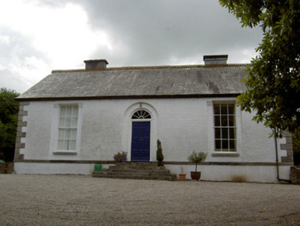 MountfordHouse · 88 yd
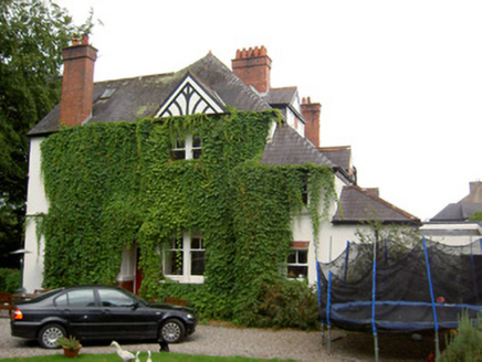 InnisfallenHouse · 118 ydGraveyard in FermoyGraveyard · 439 ydTourist InformationVisitor information · 537 ydKent BridgeMemorial · 618 ydIndicatedGraveyard · 827 yd
 Old Railway ViaductViewpoint · 1.2 miBallybrack WoodForest · 1.3 miCarrigabrick Castle (in Ruins)Castle, tower house · 1.3 miCorrin WoodsWood · 1.5 mi
 Corrin CrossMonument · 1.6 mi
 Licklash Castle (in Ruins)Castle, hall-house · 1.6 mi
Pictures: National Inventory of Architectural Heritage; Mike Searle, Geograph · CC BY-SA 2.0; Hywel Williams, Wikimedia Commons · CC BY-SA 2.0
More archaeology and monuments in County Cork · All of County Cork
What do you know about this place?