
What is recorded here
Cropmark of possible enclosure (approx. diam. 73) visible on Google Earth orthoimage taken 02/06/2016. The cropmark corresponds with a small quarry or pond depicted on the 1838 ed. OS 6-inch map and as a small area of wetland or filled in pond on the revised 1907 ed. OS 25-inch map.
See attached Google Earth orthophotos taken 02/06/2016 and 21/04/2015
Compiled by: Caimin O'Brien based on details provided by Linzi Simpson
Date of upload: 17 June 2020
A local fairy fort (ringfort/rath); wider significance not recorded.
The monument record does not grant public access. Check the route and ask the landowner before entering private land.
- What survives
- Recorded monument
Places near here
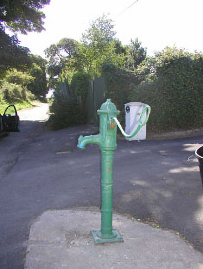 water pumpwater pump · 658 yd
 Enclosure in Grange SouthEnclosure · 1017 yd
 CastleCastle, ringwork · 1345 yd
 Church in ruinsChurch · 1457 yd
 East Coast Nature ReserveNature reserve · 1.1 mi
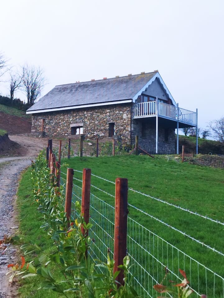 Enclosure in BallyblaEnclosure · 1.3 mi
 Castle (in Ruins)Castle, ringwork · 1.4 mi
 Leamore StrandBeach / strand · 2.3 mi
 SycamoreSycamore · 2.9 mi
 Glenroe FarmHeritage attraction · 4.2 mi
 Devil's Glen WaterfallWaterfall · 4.7 mi
 Carrick MountainMountain / peak · 6.5 mi
Other information
Photo: Credit not shown in the picture search · Rights wording not checked; contact us if this picture should be removed